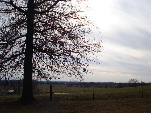
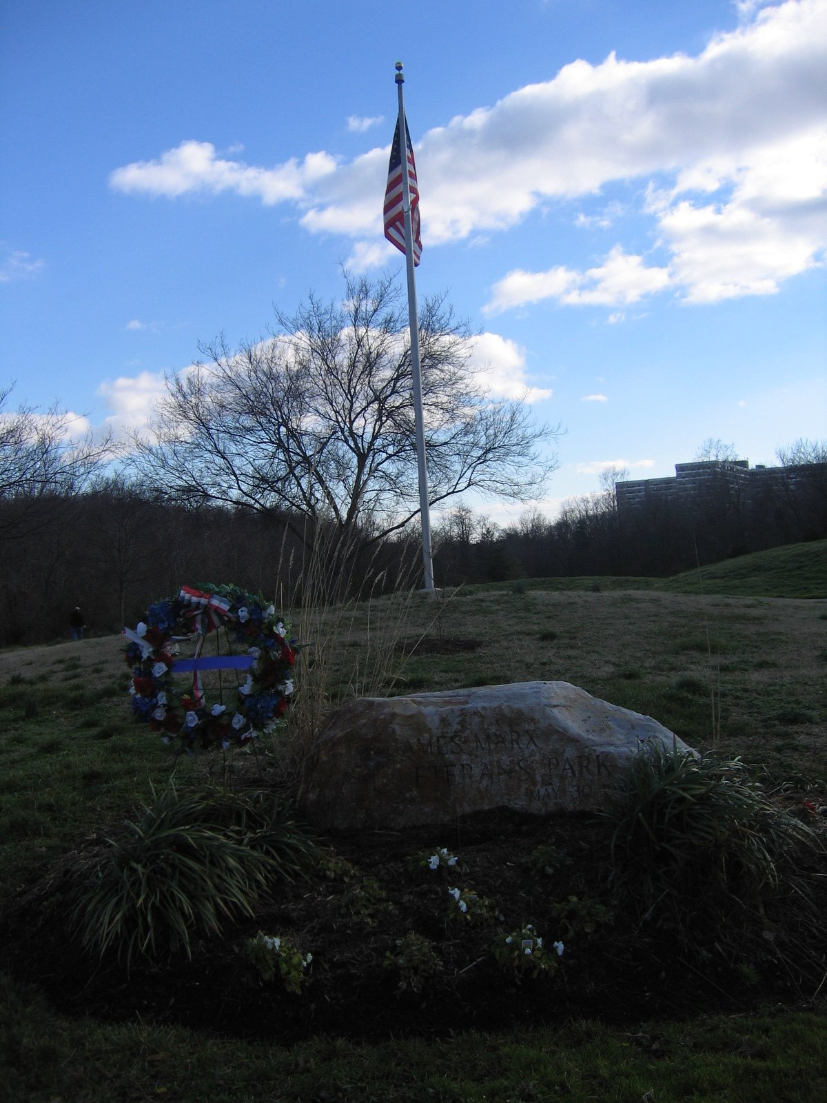
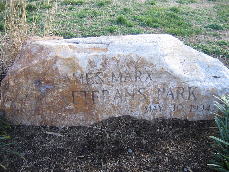
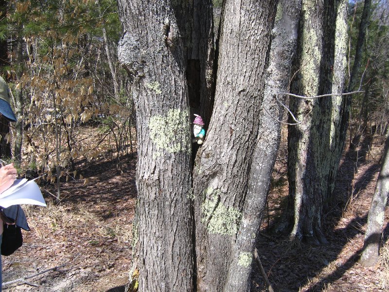
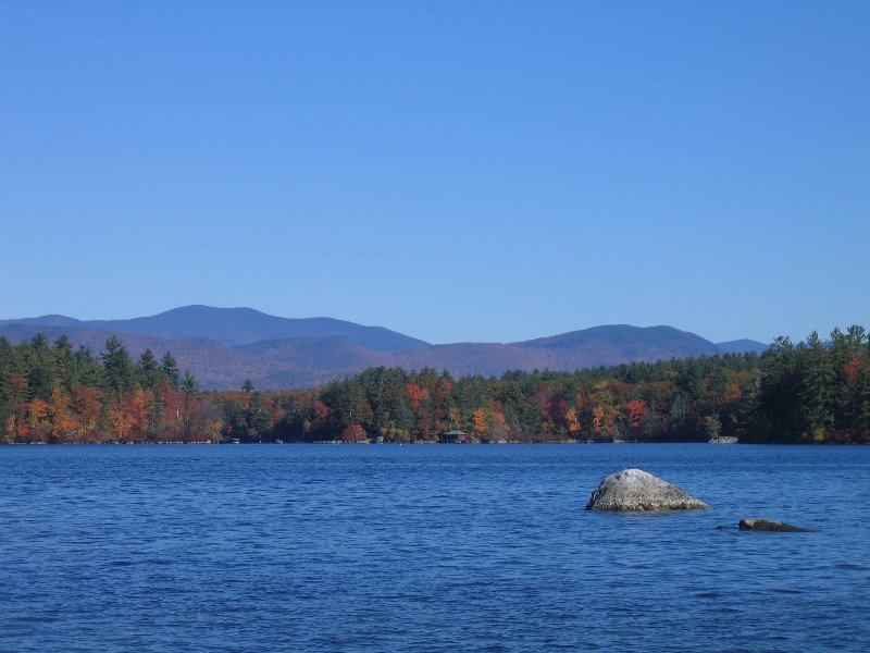
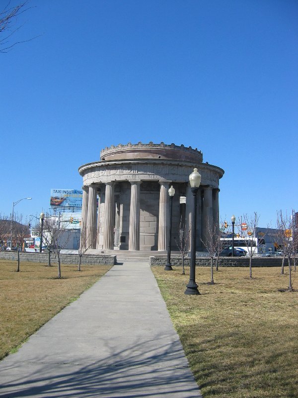
N 38° 48.394 W 077° 06.559
Great hide, but the cache needs maintenance. It was damp inside. Could not sign log because no pen. Left game, took nothing. Great area and hide. Great clue, if you need one. Alexandria VA Couple.
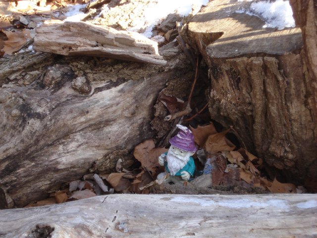
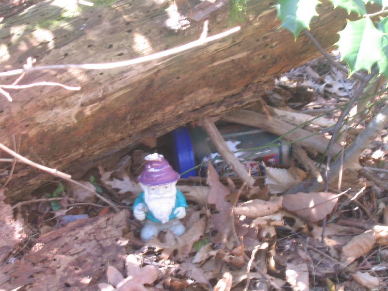
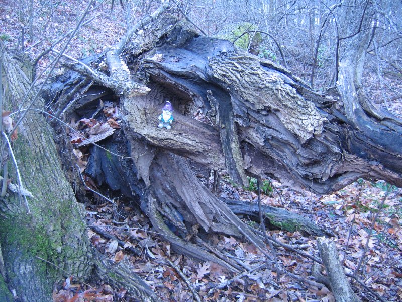
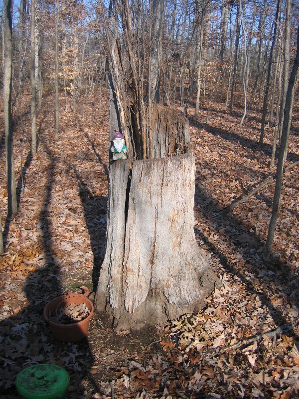
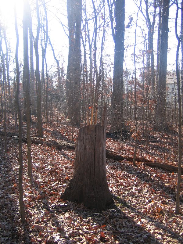
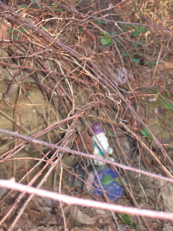
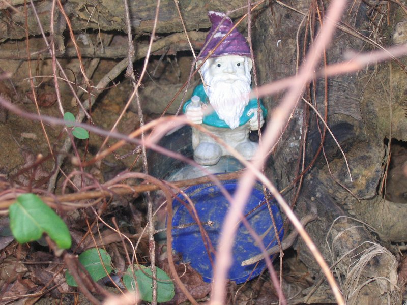
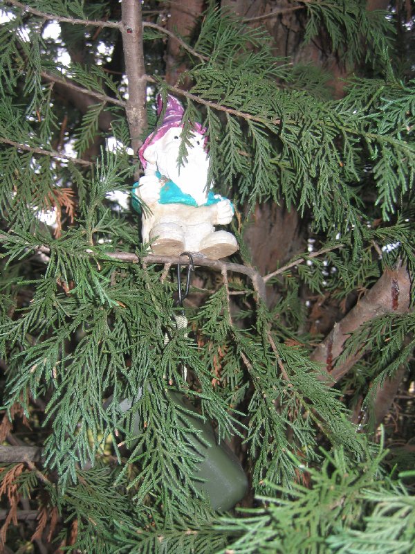
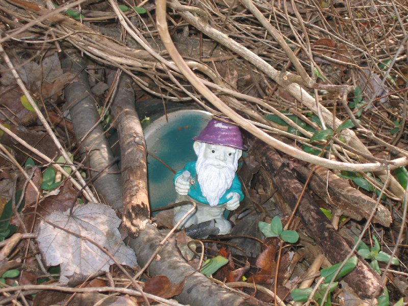
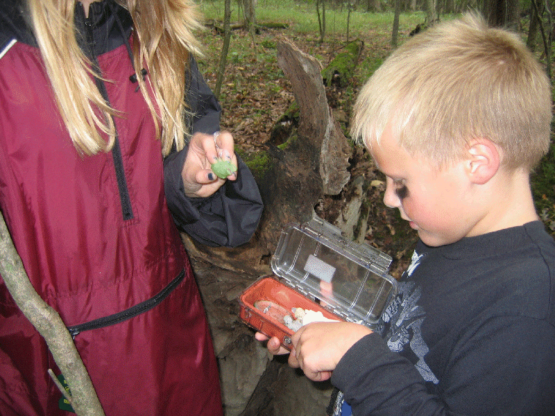
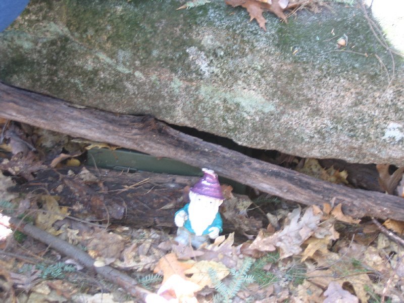
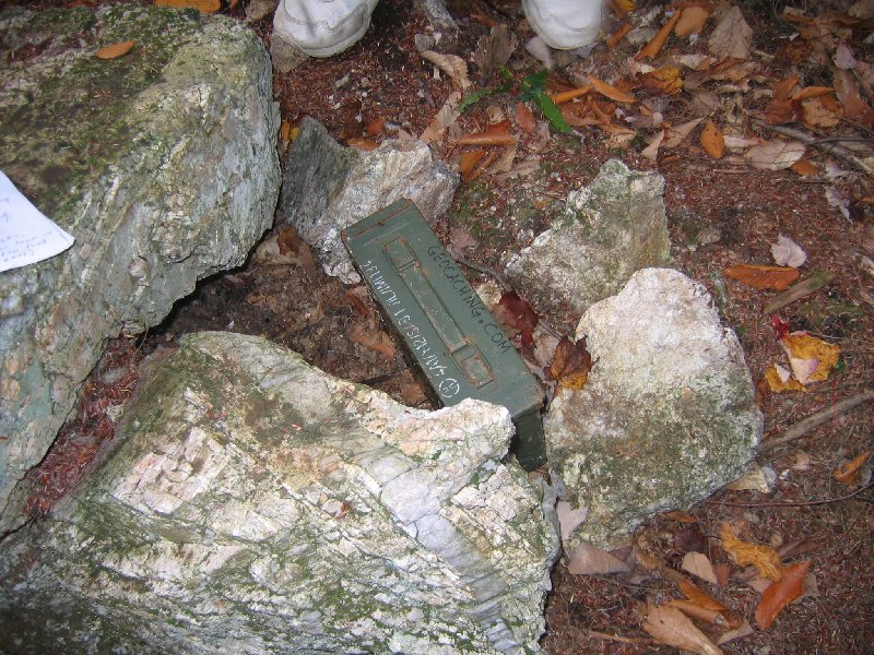
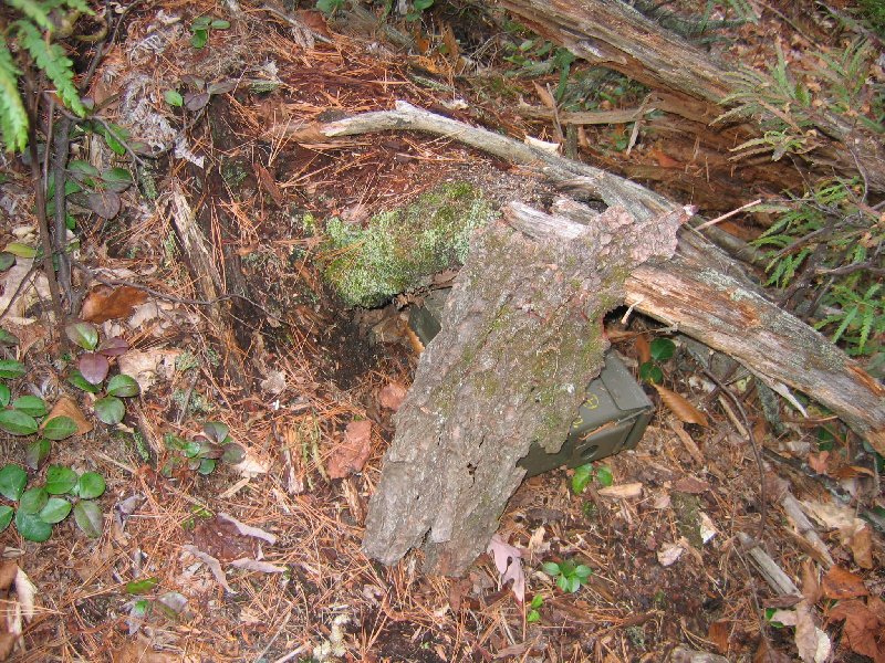
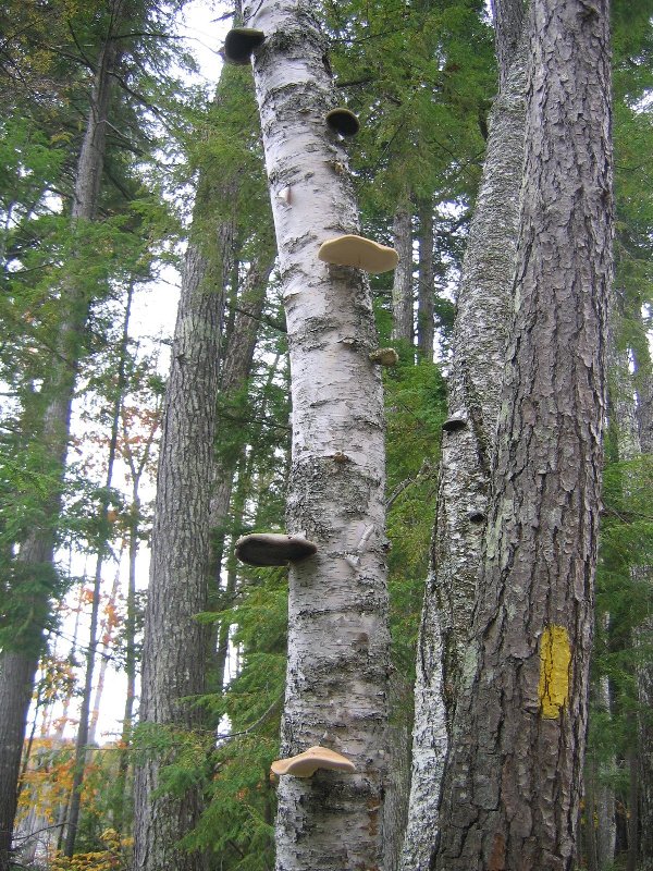
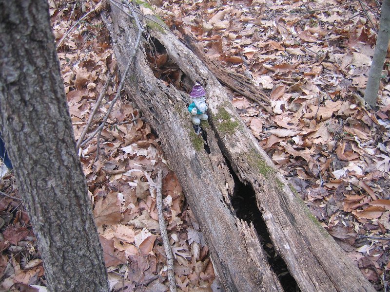
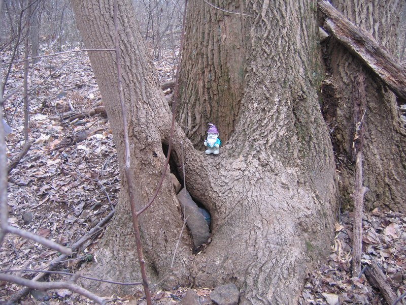
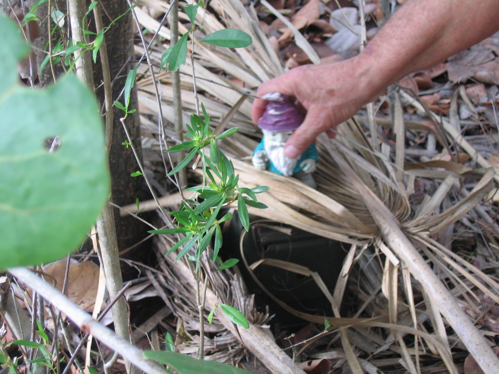
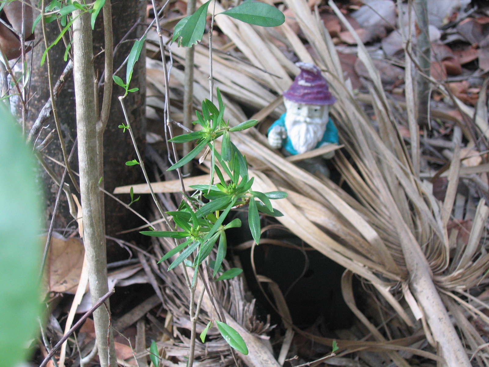
The container is a semi large plastic container that our pond salt came in. Seemed fitting to keep a fish theme going. The container is painted to match its surrounding.
N 38° 46.468 W 077° 08.361
We walk this lake all the time, great to see a cache there. Had a wonderful day with our grandchildren. Signed the log. Great hiding. Alexandria VA Couple
Located in the woods off a paved trail overlooking the lake The cammo'd cache is approximately the size of a pill bottle. Inside you will find a log and room for very small items. BYOP!
<
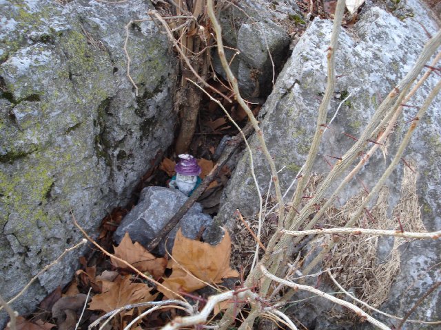
N 38° 48.340 W 077° 05.914
Great hide, but the cache needs maintenance. It was damp inside. Could not sign log because no pen. Left game, took nothing. Great area and hide. Great clue, if you need one. Alexandria VA Couple.
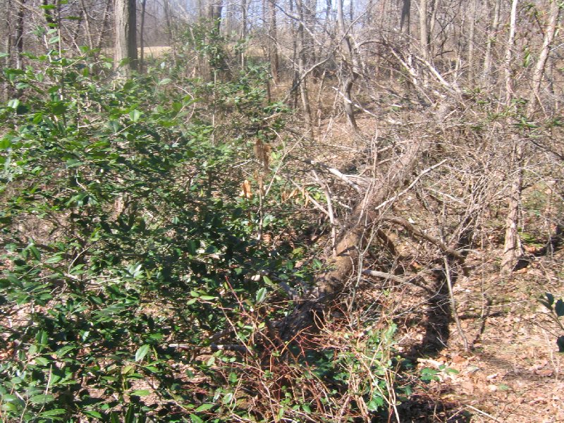
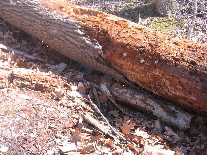
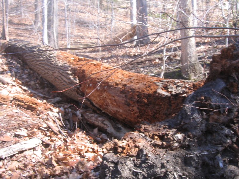
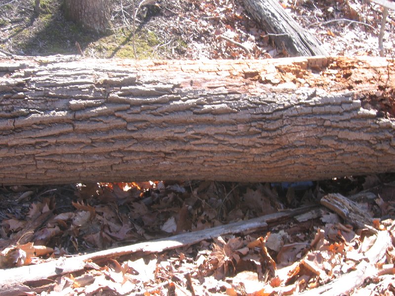
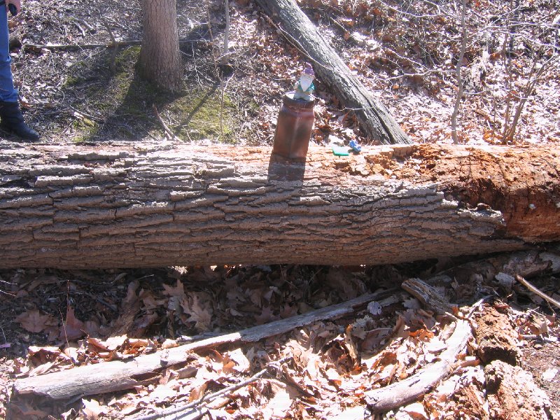
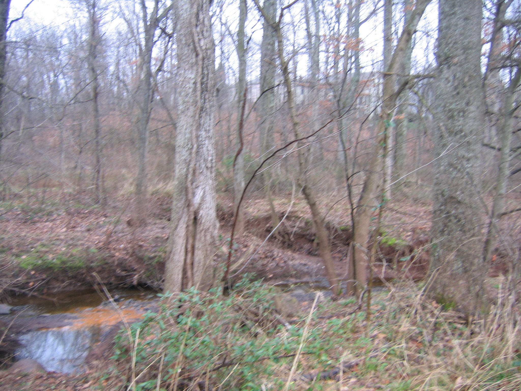
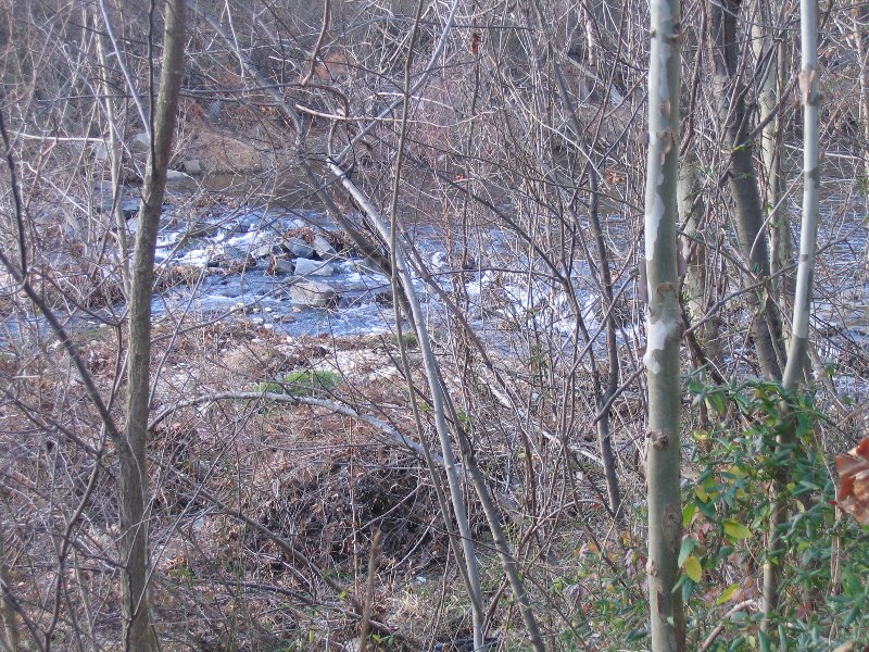
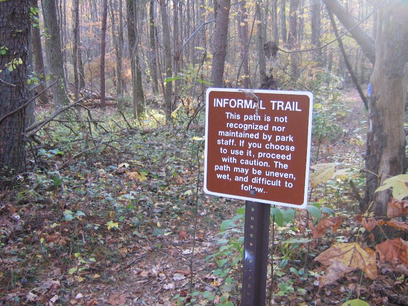
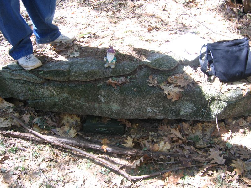
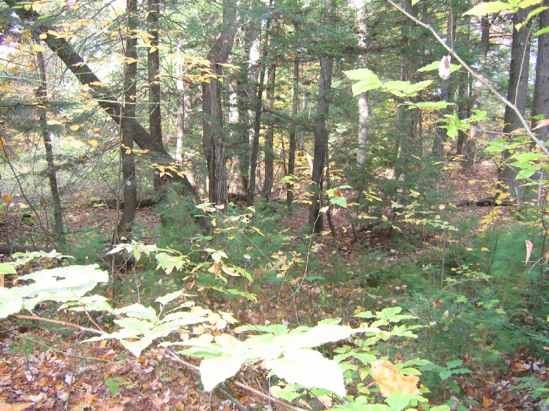
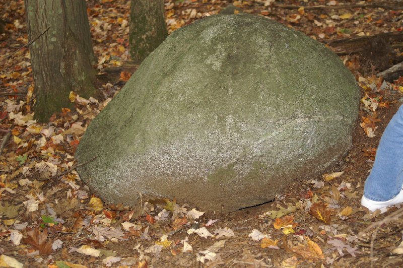
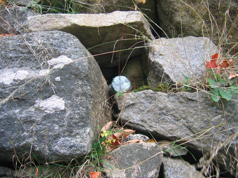
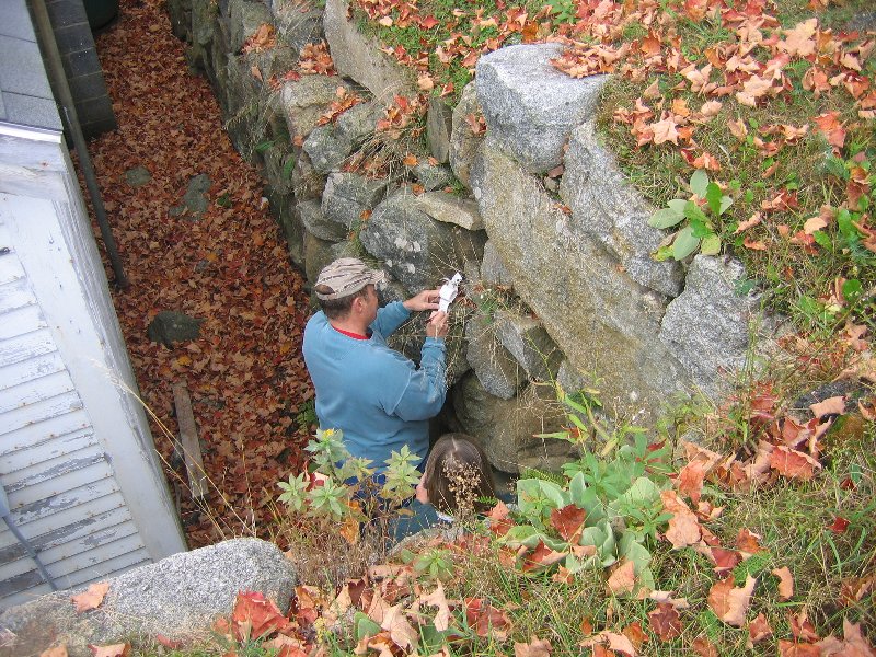
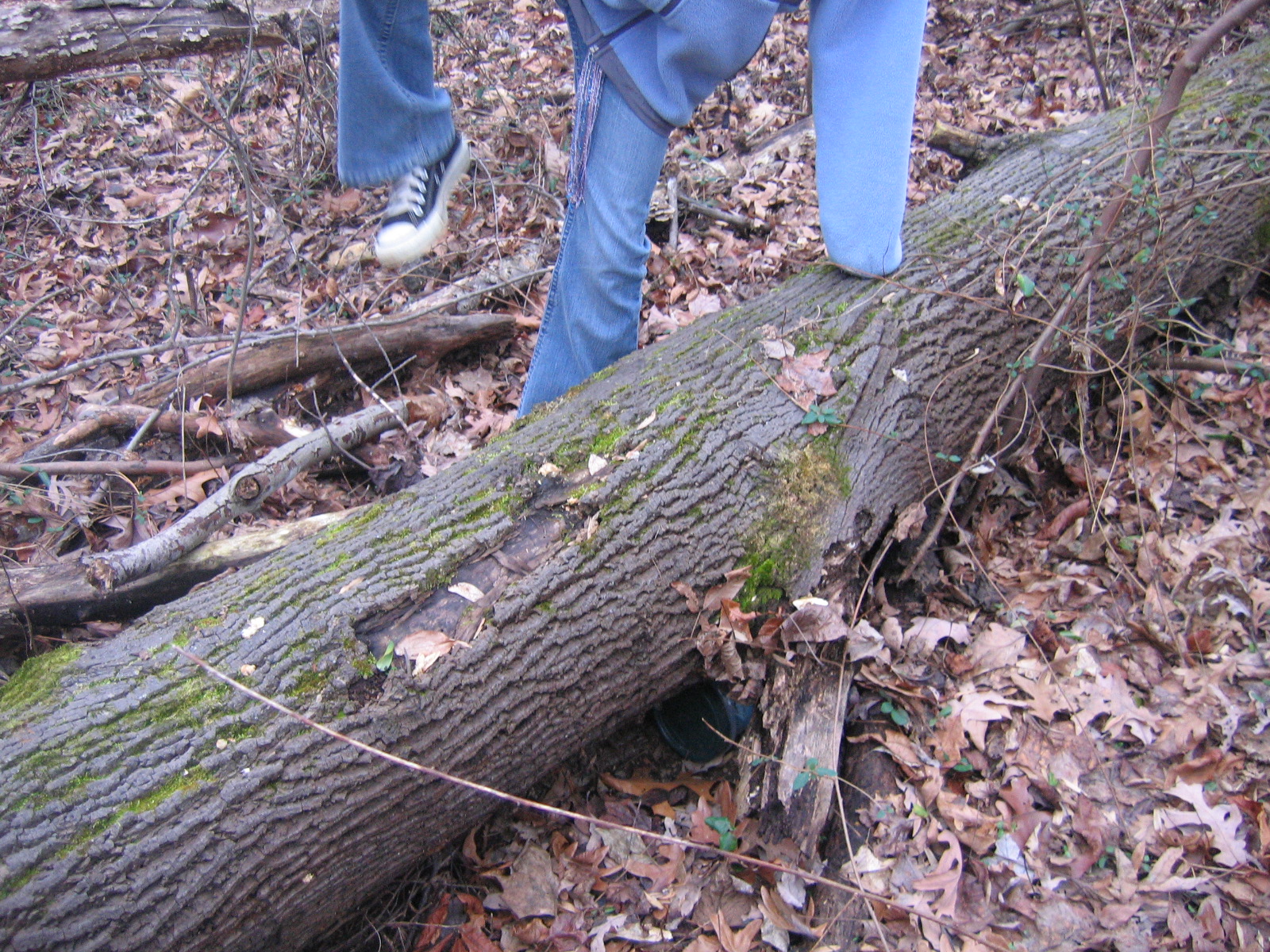
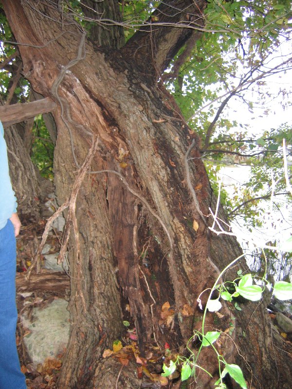
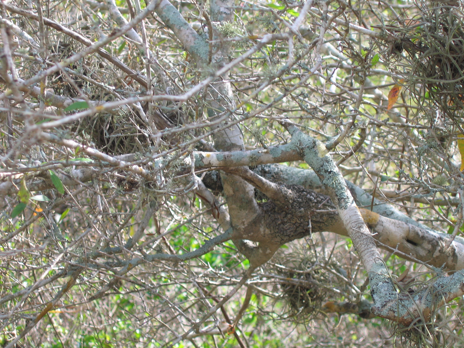
This cache cannot be seen from the path, and be prepared to scramble up some rocks.
N 38° 47.215 W 077° 08.081
Fun find! Took nothing, signed log and left bracelet. Wonderful day with our grandchildren. Alexandria VA Couple
inclines,lots of growth,rocks and water
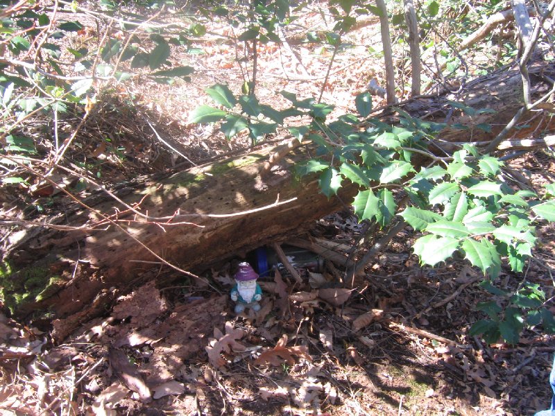
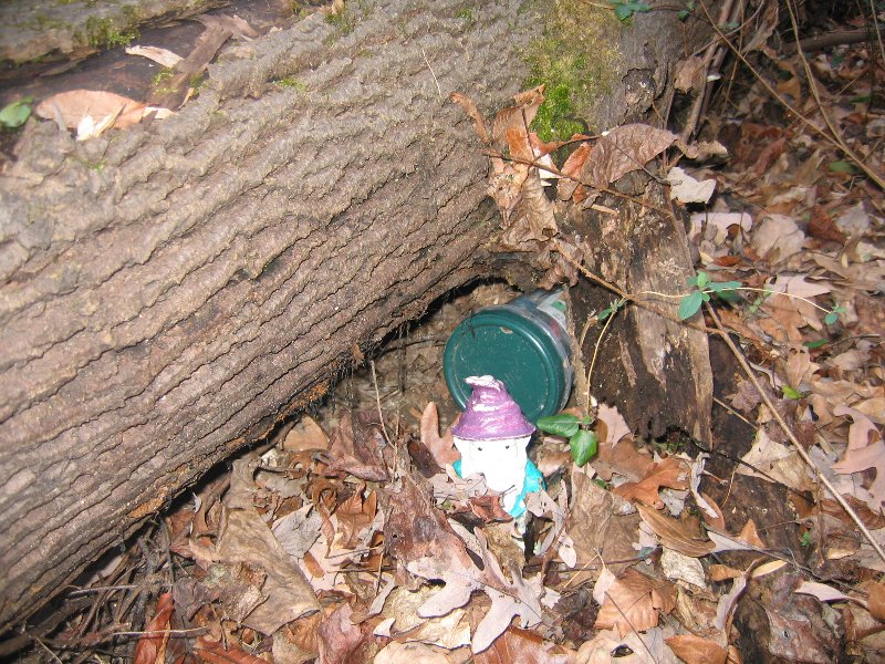
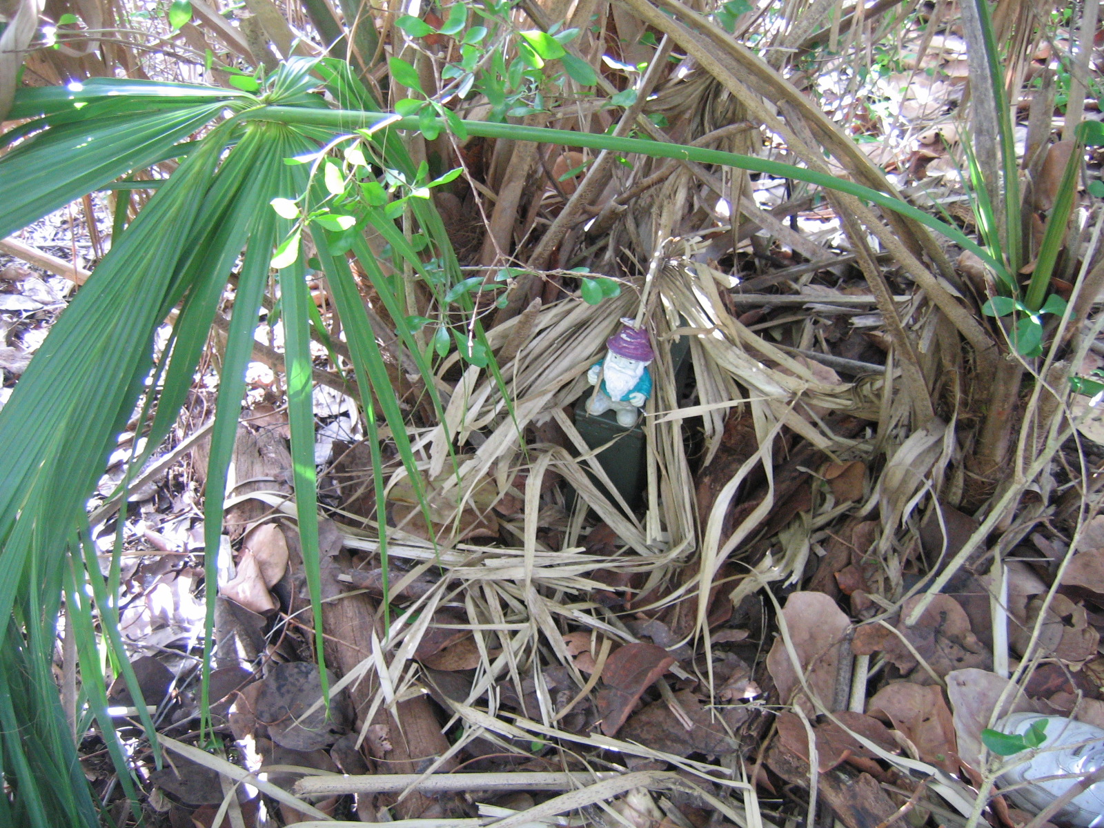
For Cachers who want a challenge in my area. It's a Camo Glad Container. if anyone wants to replace the container with an ammo box they can,but leave the container near it.
N 38° 45.051 W 077° 10.552
Nice walking path, but then did some bushwacking. Loved the hide. Saw lots of squirrels running around. Can't image this one in the summer! Left zipper pouch with wipes, took nothing. Alexandria, VA Couple
I suggest parking by the pool, and walking a short distance to a wide, paved trail starting at N38 45.092 W077 10.207. This will take you to within .09 miles o
There is a much shorter way to access the cache, but it involves more bushwhacking, which will range from easy to fairly difficult depending on your choice of route and the time of year that you are looking for the cache.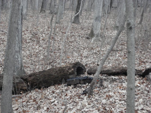
N 38° 47.846 W 077° 04.201
Great container...cute little area. Left Belguim coin and took squish penny.
Trading spot for geo-coins, foreign coins, and coin-like items. (novelty coins, casino coins, smashed pennies, etc.)
Spider-Man's Newington Adventure
Saw two big bucks running thur the woods. Great walk up the woods and over the fallen trees. Counted 16 tires. Finally found it after walking around it for quite awhile. But we found it and left a Spiderman watch (probably needs battery). Great park area.
After 100 finds, I thought it was about time to hide a regular cache of my own. I hope you enjoy the adventure.
I don't know if Peter Parker has ever been to Virginia. But his adventures thrilled me as a child. This cache has a Spider-Man/Comic Book Character theme. Please try to exchange items with the theme in mind, if at all possible.
From the parking area walk past the playground, the ball field, and into the forest. The forest starts about 1/6 of a mile from the cache and there are no formal trails. I counted 17 tires on the way to the cache. I know they’ve been there a while, because there is a tree growing out of one of them. How many did you see?
N 38° 48.759 W 077° 13.504
Found this with our nephew and his girlfriend. It was a great park, we definitely want to come back to. Wanted to leave a TB we just got. We even met another Geocacher there...that was a first. Took nothing but left "Jenny" Alexandria VA couple.
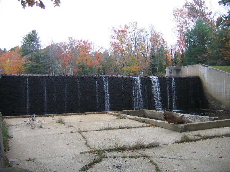
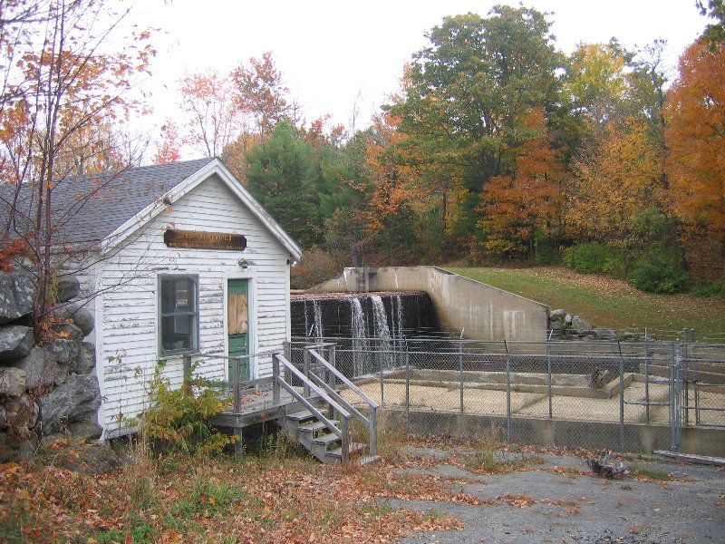
Davey Jones' Locker is a Travel Bug Hotel which is off the Braddock Road exit off Rte. 495 West. The container has plenty of room to hold several TB's. Davey Jones' Locker is for Travel Bugs to move North, South, West, or East. The cache is around 2/10 mile off the exit of Rte. 495 and Braddock Road. This cache is easy to approach and is practically a cache & dash for TB's, however being stealth is needed. The cache is near a biking / walking path and very close to the ball fields. Watch out for muggles. Due to its location close to the trail...PLEASE make sure that you replace the cache well...I want to be sure that it not too obvious to muggles!!! Thank you
this took a few minutes, the coords were all over but we found it. Took nothing but left a toy. It also changed to a Ammo box and we were looking for a Glad storage container and never found the pool. But the walk was great. Alexandria VA Couple and friends.
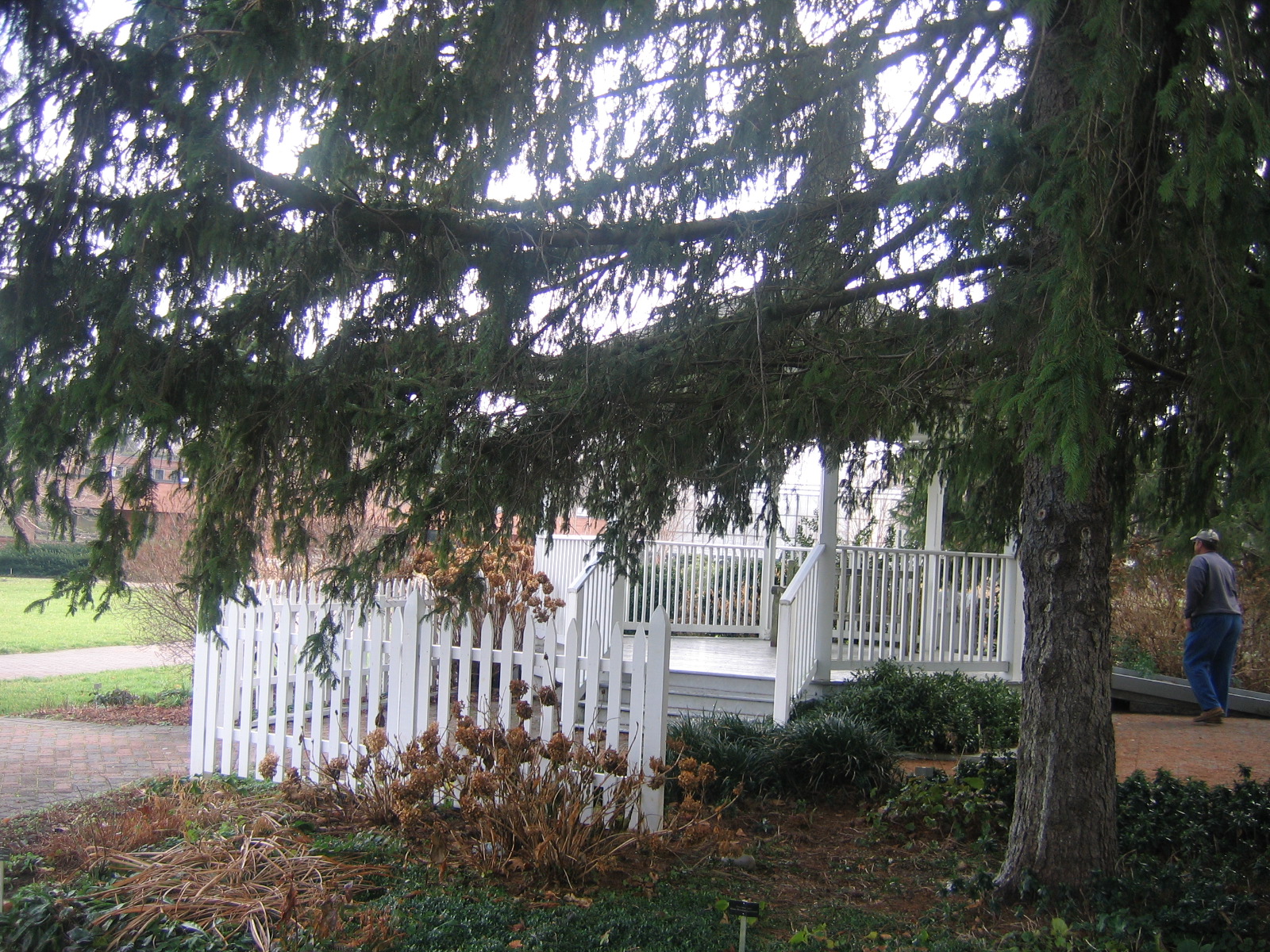
This cache is located in a Fairfac County Park Authority neighborhood park. It is located in a wooded area near the playground. At the time of placement I did not notice any poison ivy in the imediate area. This cache is located near Royal Pool, hence the name of the cache. The container is a black Glad storage container and is loaded with trinkets for kids. There is a fun playground on the park grounds, ideal cache for kids.
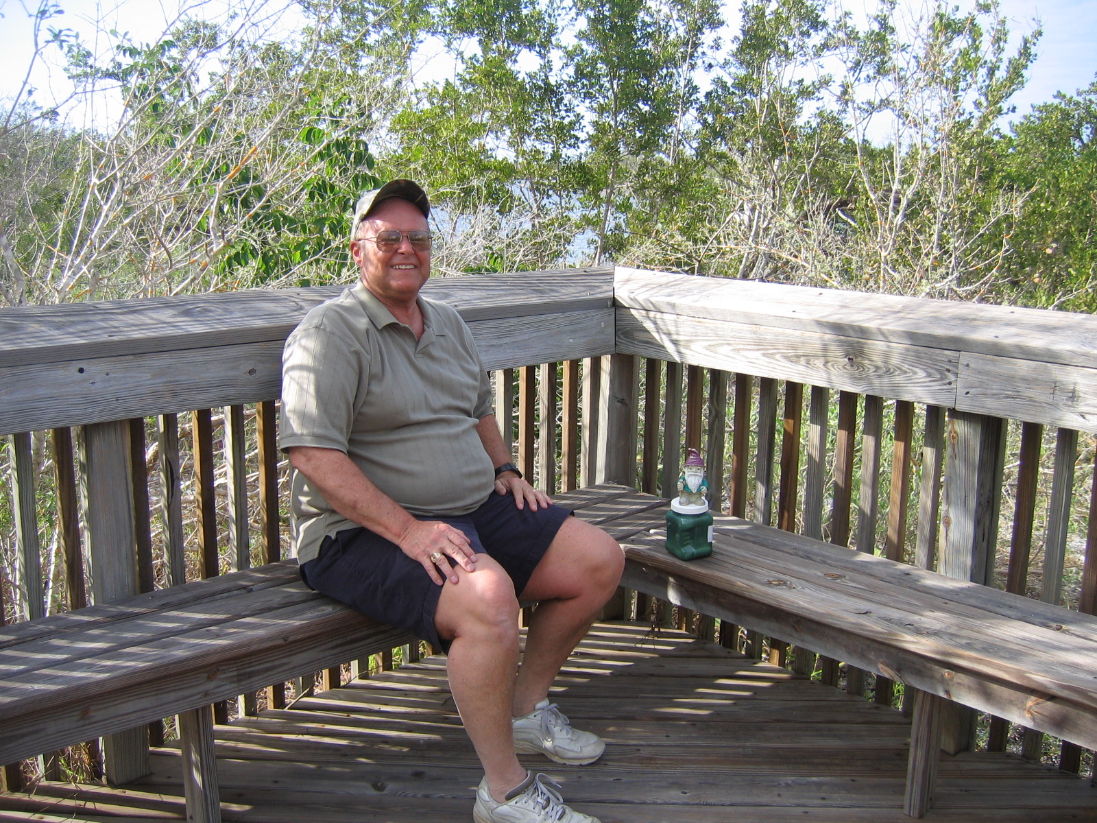
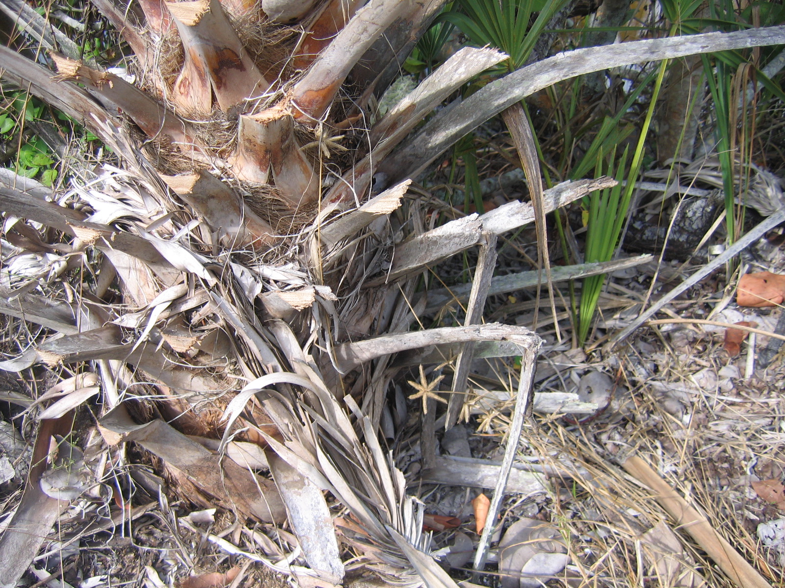
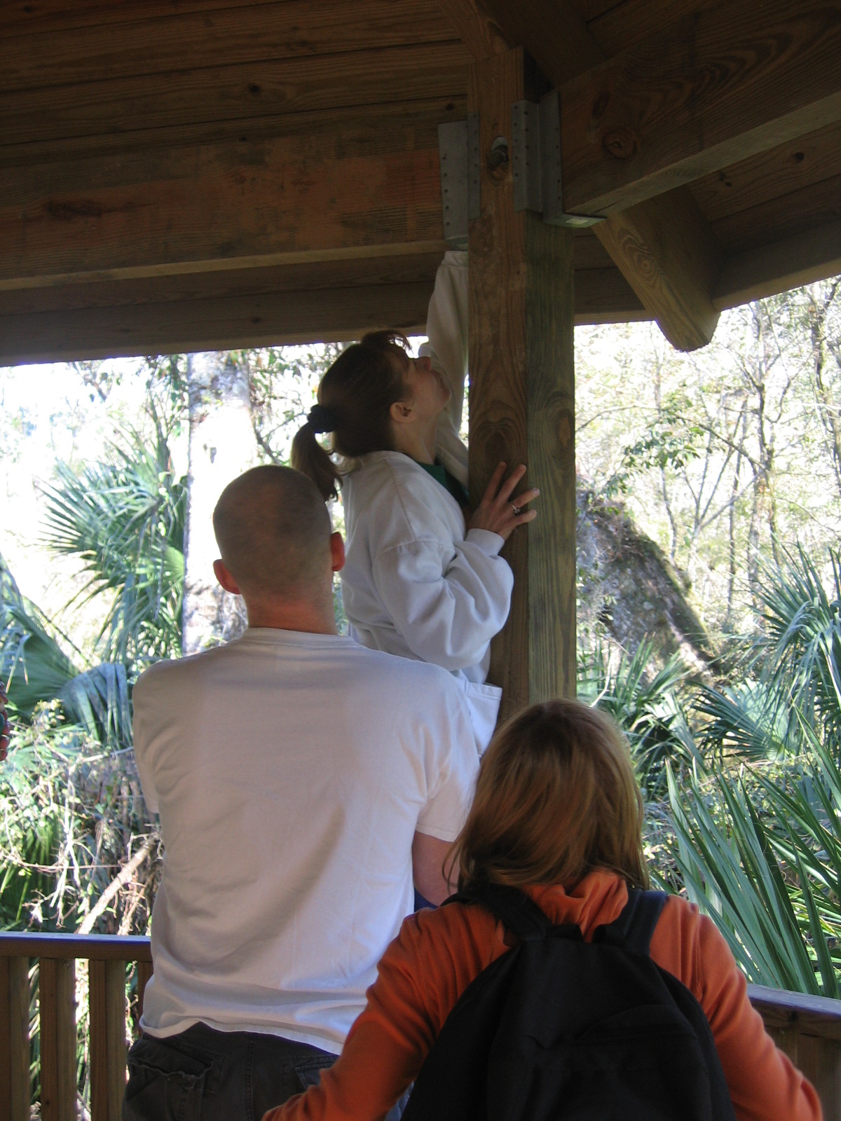
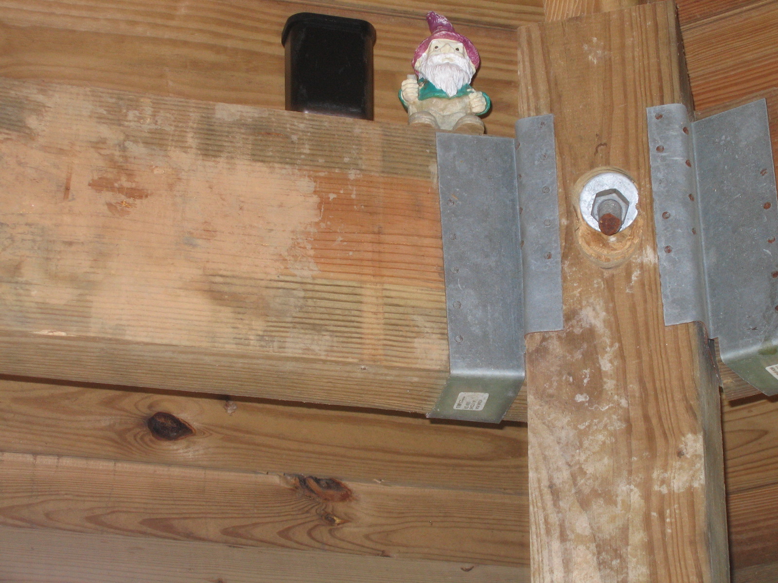
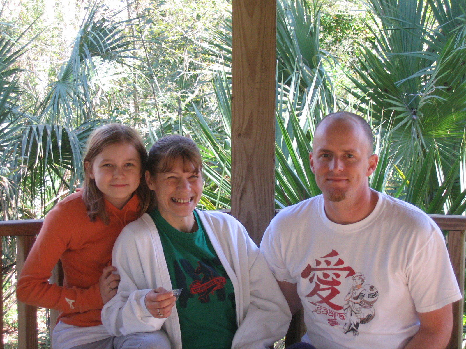
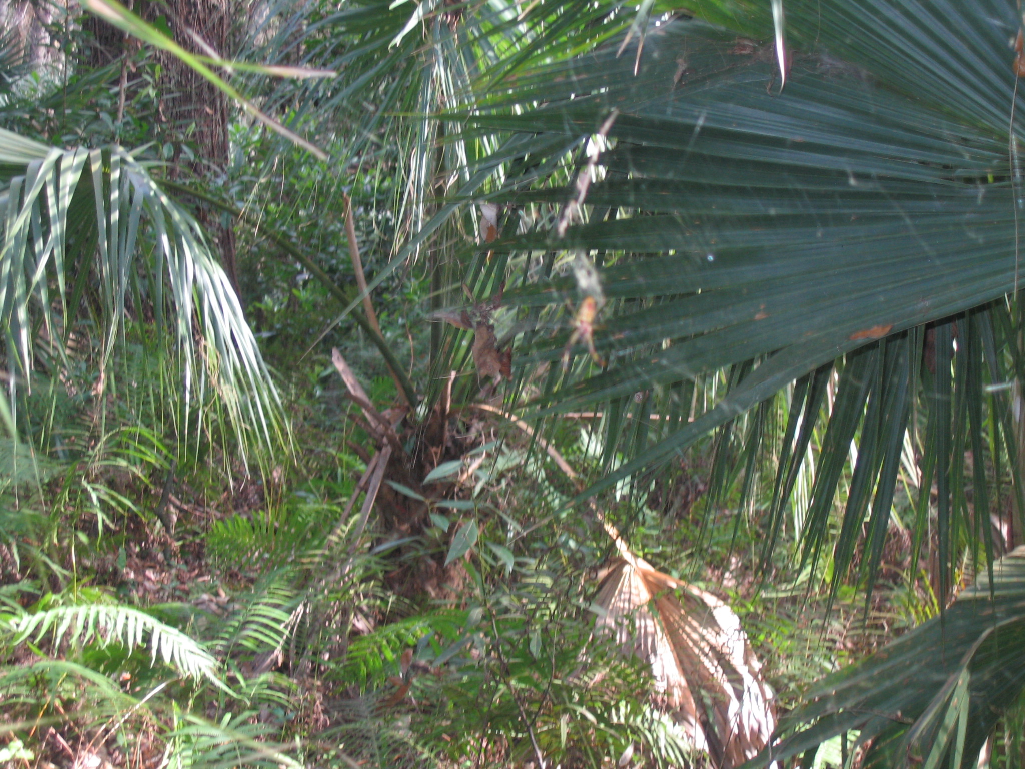
A few Photos:
Wonderful day geocaching in Winchester with our Grandson (Emma Ears) and found it one. Easy find. Left Shark and Christmas Bell, took TB Bike Chain and Eragon Pin.
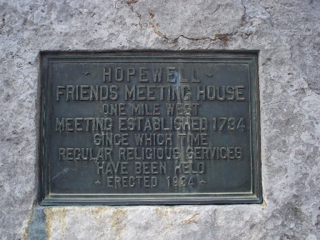
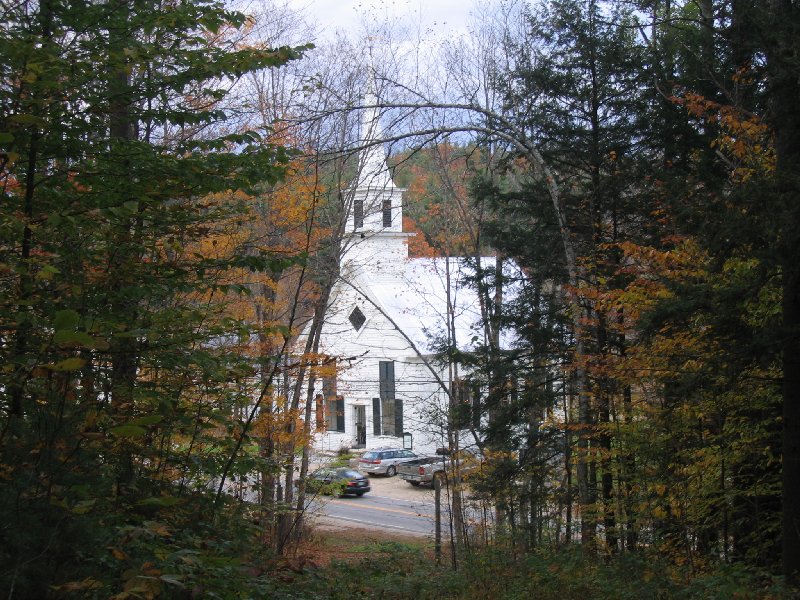
Your search for this cache will lead you to a Quaker meeting house and cemetery north of Winchester. The meeting house was built in 1759 and has been in continuous use ever since then by the Quakers (aka the Religious Society of Friends). Please feel free to respectfully explore the cemetery. There is pamphlet with more information about this historic site at the cemetery gate. The cache is yogurt container. You can park on the drive or the grass behind the meeting house. Out of respect for the meeting, please to do not seek the cache between 9:30 am and noon on Sunday mornings when the Quakers worship. Thanks! P.S. Be sure to say hello to "Barbie Montana" and her friends while you're there.
HINT: Ivy is not a problem.
A few Photos:
Wonderful day geocaching in Winchester with our Grandson (Emma Ears) and found it one. Easy find. Signed Log. Neat Area and history lesson.
A quick little cache and dash just off of Interstate 81. Standing like a sentinel at the confluence of Route 11 and Hopewell Road is a marker for the Hopewell Friends Meeting House.
HINT:
A few Photos:
This was a wonderful cemetary, loved walking around looking at all the history and brave soldiers' stones. TFTC.
Had a fun day in Winchester geocaching with our grandson (Emma Ears). This was a wonderful cemetary, loved walking around looking at all the history and brave soldiers' stones. TFTC.
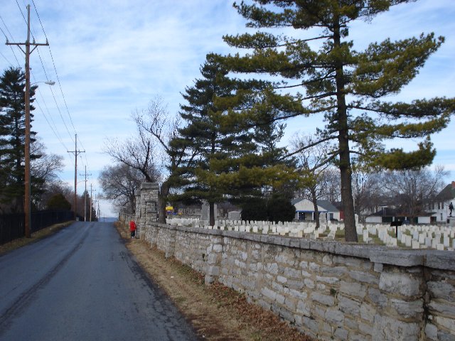
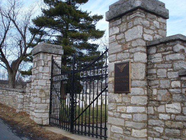
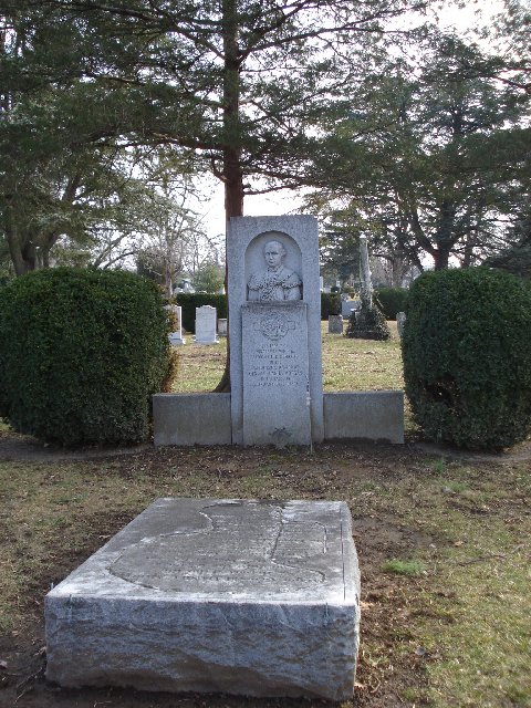
PLEASE BRING A PENCIL OR PEN TO SIGN THE LOG. THANKS! This micro is hidden so that you do not have to enter the cemetery to retrieve it. However, if you are here during the hours it is open, you may enjoy a walk around this historic site. Please USE THE MAGNET to replace the cache. Thanks! This micro cache container is hidden at one of the entrances to this historic cemetery, which holds graves of Revolutionary War soldiers, including General Daniel Morgan. Morgan, a renowned Indian fighter, is buried in this cemetery. This cemetery is open year
HINT: LOOK LEFT AND LOW
A few Photos:
Wonderful day geocaching in Winchester with our Grandson (Emma Ears) and found it one. Easy find. Left Beaver Geocoin, took nothing.
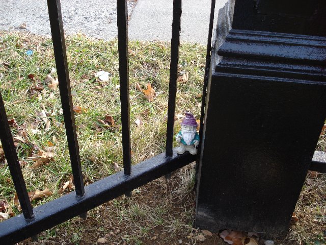
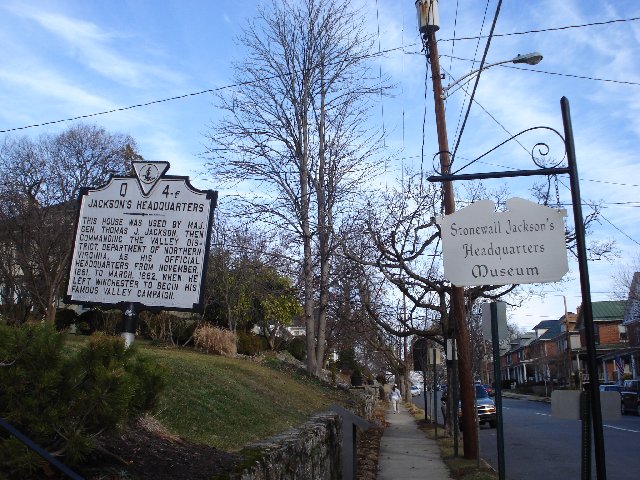
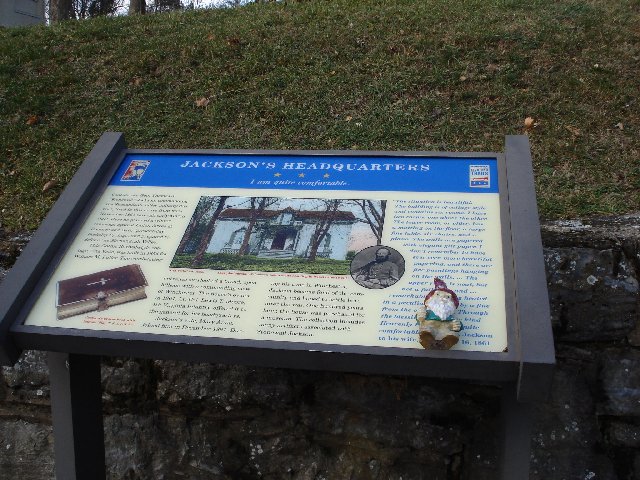
This micro-cache is placed at the site of General Stonewall Jackson's office in Winchester
HINT: Look under the sign
A few Photos:
Another cache in this lovely park. This cache is hidden in a place that may be unexpected. Please be sure to respect your surroundings and place the cache back the way you found it
HINT:
A few Photos:
This was a great find. Didn't sign log but left a Support our Troop bracelet. Found a whole tree of Hedgeapples, (on the ground), neat!
A small cache along a nice walk/bike path in a family-friendly park. Interesting title, don't you think? For long I have used the excuse: "Well, of course
Well, after visiting with my doctor and listening to him - ummm - explain a few things to me, I came up with this cache idea. This cache is placed along a walking path that I plan to use at least three times a week. For every pound I lose, I'm going to put a penny in the cache. Now, you can take the penny if you wish, but this is one way of encouraging myself to get out there and walk!
A few Photos:
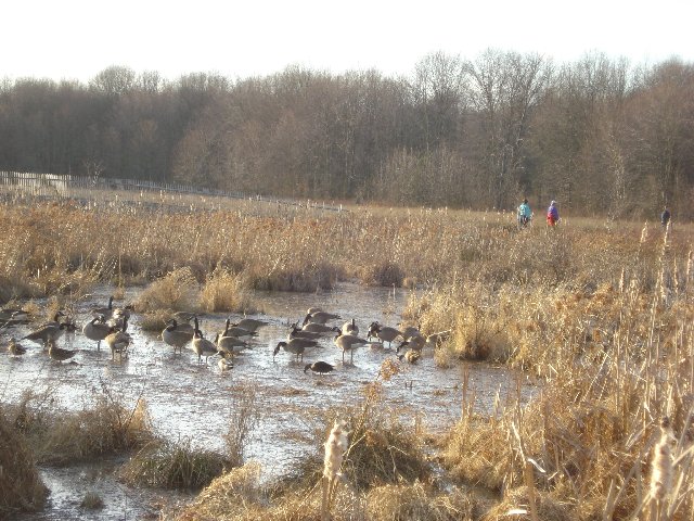
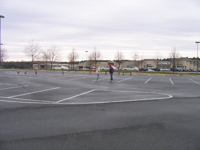
What a wonderful day for caching. Found this one after a nice walk in the woods. Saw lots of geese and ducks. 70degrees in January, beautiful. Took Fire cards and left mints. You need a new log book...please are writing on anything in there. But still well kept.
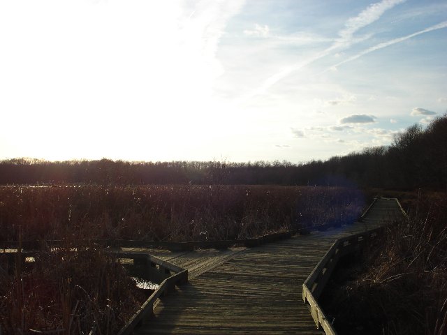
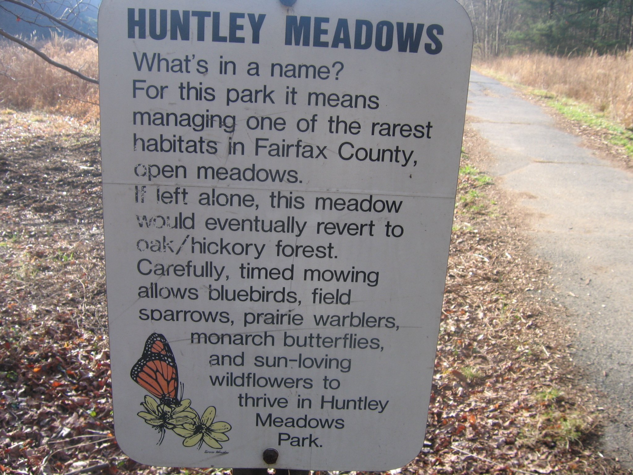
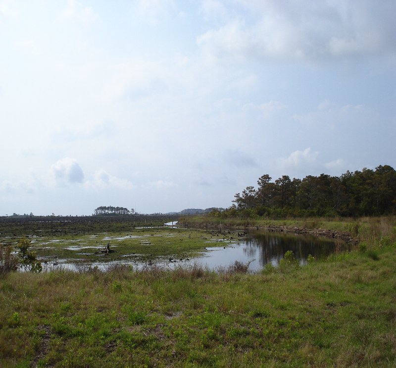
Huntley Meadows is the largest park in Fairfax county and I believe it's one of the most beautiful parks in the state. I thought it deserved a 2nd cache.
This is a 1.5 mile round trip stroll from the parking lot. Trails lead past the nature center, through the woods, along a raised boardwalk path through the wetlands to another section of woods. The cache is in the woods, past the wetlands and past the observation stand. Don't bushwhack through the wetlands please! Bring binoculars. Watch for turtles, water birds, frogs and deer. Unfortunately this end of the park does not welcome dogs although I've seen them there.
Cache is a 12" by 10" by 5" black plastic case which latches closed.. Please lt
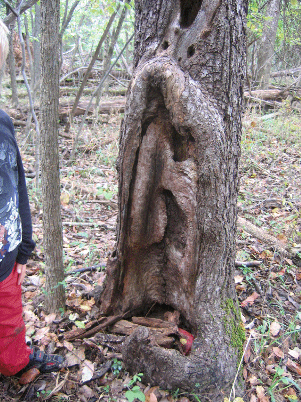
HINT: From the V you can see a really big hump on a nearby tree. In a hole in the tree with the V you'll find me
A few Photos:
Glad I had my Moose boots on today, it is alittle (alot) wet in the area,but it was a great area. A wonderful day for caching. Took Beaver coin and duck. Left deck of 55 terrorist cards.
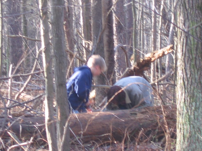
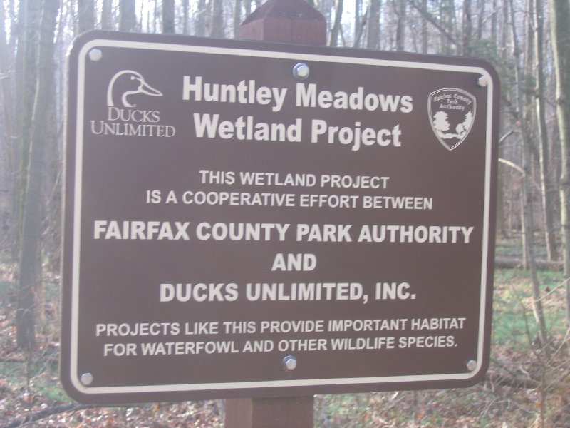
This cache has been placed with the permission of the Park Manager, Huntley Meadows Park. The cache is a large camouflaged NoVAGO ammo can located just inside the Huntley Meadows Park.
For easier access to the cache site with minimal bushwhacking, parking can be found at the Muddy Hole Farm Park, 7941 Kidd St., Alexandria, VA 22309. The cache is located not far from a natural trail.
For a longer cross country trek involving bushwhacking, alternate parking can be found in the main parking area of Huntley Meadows Park. Huntley Meadows Park may be reached by taking Beltway Exit 177A which is Richmond Highway or Route 1 south for three and a half miles to a right on Lockheed Boulevard. The park entrance is approximately three blocks down on the left at Harrison Lane.
HINT:
A few Photos:
Easy and fast once we got the coords. Had to call home since I forgot to get them. A few muggles who are still wondering what we were doing but we found it, signed it and left. My daughter and I were in Williamsburg, for the Longeraberger experience and make a basket. Had a wonderful day. Enjoyed the bakery and the weather.
Log only micro cache
This micro-cache is placed in one of our favorite family places. Take a few minutes to enjoy a Colonial snack. You will need to bring your own writing instrument. One place for legal on street parking is N 37°16.428' W076°41.814' You can not drive directly to this cache. Additional Hints: Look near lightning damage. Under a tree that isn't black.
HINT: Corner nook of the fence. Not at ground level.
Great piece of history, so glad you brought us here. Loved sitting next to TJ. My daughter and I were in Williamsburg for the Longaberger experience and made a basket. Yeah. Sending our answer in email, not sure we got the right idea?
Located in the heart of Williamsburg, VA.
Second in a series of local interest – virtual caches in the Williamsburg / Jamestown region.
A recently added representation of a previous temporary resident of Billville. Read the words and count to eight times his number. What word is next? Please encrypt your answer. Thanks. JK-n-VA
HINT: Sit next to TJ on the bench near College Corner (close to the intersection of Jamestown and Boundary) on Duke of Gloucester Street. He is holding a writing desk with an early draft of a famous document. Found June 2, 2007
Nice walking park, easy find, right off path. If you are a cacher, you will find it easily.
There is a hidden park near my school. Dad has a geocache here so I want mine here too. Small, narrow tupperware container - bring small items.
Dad said I was too young to make a geocache (I'm 5.) Mom said I was too young too. So I swiped a box from the kitchen and a pad and pen from Dad's desk. I filled it with stuff I don't play with anymore and showed it to Mom & Dad. They couldn't believe it! Dad said all I needed was a geocache note to go inside.
I went to the park and showed Dad where to hide the box. It's a really hard place to find. Additional Hints: Look near lightning damage. Under a tree that isn't black.
Love, Huntley Meadows, great find, easy walk. Lots of muggles.
This is a fun cache that gives you the opportunity for an easy find and then ...........exercise your imagination and test your logging skills. This is a silly cache so feel free to get creative and tell us what "happened to you on the way to Huntley Meadows". ******Cache will only be available until 30Aug2007******** A cool guideline to logs can be found here (visit link)
Hint: Funny, sad, or even true, its all entertaining Cache is one of the NOVAGO ammo boxes hidden in a typical spot (Decrypted Hints) Found March 13, 2007
Love this area, keep finding new places to hike and explore. Great hiding but easy to find.TFTC.
A peanut butter jar cache just outside the beltway.
No poison ivy here! Stay on the path and/or the brown leaves and you'll avoid all the ivy. Bugs on the other hand…
HINT: Find some junk, you're near.
Love this area, keep finding new places to hike and explore. Great hiding but easy to find.TFTC.
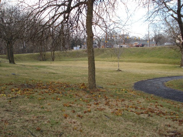
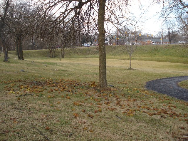
Located in Monticello Woods Park, Fairfax County, VA 22150
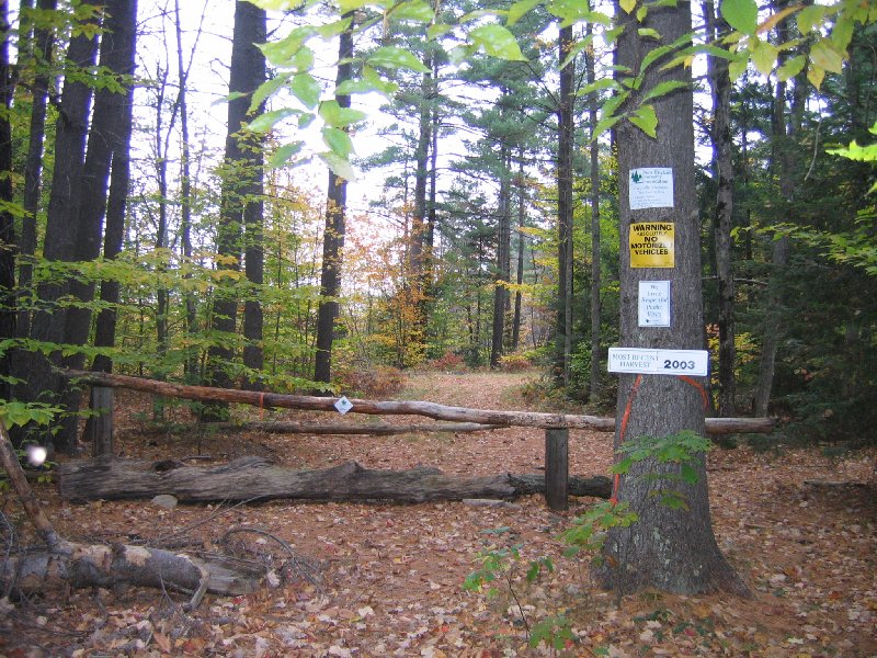
Traveling north on Interstate 95, east on Interstate 495, or east on Route 644 (Franconia Road), this is a quick 'park and cache' on the way to "K Town - Renewed" (GCPEN3). This cache was placed in one of the few "Pine Forests" of Fairfax County, Virginia.
The park is small, but contains a symmetrical concentration of pines, that may have been a part of 're-foresting' in the eastern section of Springfield, Virginia. The National Capital Beltway is close by, so you must approach from one direction only. You are looking for a two quart "Rubbermaid" container, painted to blend in with the environment.
The Monticello Woods Park is a small park in Monticello Woods Community of Fairfax County, Virginia.
There are a few trails throughout the park. The park has two (2) entrances, one from the east, and one from the west. The west entrance is the most desired starting point to this cache.
There is not very much in the way of hiking in this park, but if you enjoy watching birds, and can distinguish the calling sounds of many varieties, you will enjoy spending hours listening and photographing the local species.
This pine forest provides many perches for our "feathered friends", and there are other small animals to view.
The cache is located in what you would consider the 'open', but to get there, you must walk the "carpet of moss". Enjoy!
HINT: You really need to 'duck' as you traverse to this cache. Look around ground level in a tri-trunk tree Don't 'bust the branches' of the pines! Found March 11, 2007
 Found March 11, 2007
Love this area, keep finding new places to hike and explore. Great hiding but easy to find. Lots of thorny vines, even got wounded. TFTC. Left USA Squeezy and took Lighthouse coin.
Located in Lee District Park, Fairfax County, VA 22310
This cache was designed with one of our local geocachers in mind. Since he was the first to hide a cache in this park, it is for this reason that we shall remember his "trailblazing".
When you seek a flowerman cache, you will notice that he recycles the containers of products that he has consumed in his home or on the road. You are looking for a half-gallon "Honey Roasted" peanut container, in the spirit of flowerman's hides, painted to blend in with the environment.
The Lee District Park is a small park in the Rose Hill Community of Fairfax County, Virginia. Rose Hill was established in 1954, and recently celebrated their 50th Anniversary. Each year on the 4th of July, Lee District Park provides a Fireworks show for the residents of Fairfax County, and other visitors to Virginia. Catch the show, and find this cache on the 4th of July!
There are many trails throughout the park, and even other geocache hides since the original "Lee's District" by flowerman (GCCCB3) placed in January 2003, and archived in June of 2005.
HINT: A quick "park and cache"Using the suggested parking area, walk over the redwood bridge, taking the path to the right.Cache is located amongst thorned vines, under a fallen tree, less than twenty yards off of the established path.
Nice area, it must be almost spring, they are working on the baseball field. Only two muggles and they didn't bother us. Found it fast. Took Wandering Bug to take to Maryland, but didn't have a TB to leave, sorry. Will be bringing all other TBs here, so easy to do.
Fast cache 'n' dash with easy parking designed to provide Travel Bugs a safe and happy resting place on their various journeys.
Easy find off of Old Keene Mill Road (Rt. 644). Head down Byron Avenue to the Little League fields. This cache may be nearly impossible to find without muggle attention if there's a ballgame going on, otherwise the area should be deserted, making bug-swapping a breeze.
Cache is biggish plastic comtainer painted brown with a screw-top lid. This is the replacement cache for the thrice-muggled Springfield Travel Bug Hotel (GCXHC2) and it is the sister cache to the North Shore Travel Bug Hotel (GCT770) and the Ox Road Travel Bug Hotel (GC11177).
Please leave only travel bugs. Thanks!
HINT: Behind the big fallen tree.
Went to lunch with the grandkids and got lucky to find this one. Wonderful cache full of travel bugs, need a bigger box though. Took Chattering teeth TB and left a key holder. Neat little wooded area. Alexandria VA Cache
Located just off of the I66 Manassas exit, you can get autographs and take pictures of your favorite Travel Bug stars. This is similar to a travel bug hotel, but take a picture with the camera there and you too can be immortalized with your favorite travel bugs.
We took the Chattering teeth to lunch....


Found January 28, 2007
Wonderful park and wonderful cache. Got caught in the housing area and then decided to go to the next light up and found the perfect parking area. Took FTF since no one else did and left the world clip. Thanks for the Cache. Alexandria VA Couple
This is our first so we hope you like it. This is one of our favorite places..
We spend alot of time in this area and if you have kids you can see why.. The cache cntains alot of toys for kids and we hope you have fun with it and leave lots of trea sures...It is a midium size contahe and a Movie (Travel Bug Back Lot) inehe and a Movie (Travel Bug Back Lot) goo for toys and bug and such..
Great little park, love this area and the hide.
nice n' easy cache n' dash
named after the postage stamp-sized park that i always wondered if it contained a cache....does now!
Gardener's Dream Cache
N 38° 49.530 W 077° 09.397
What a wonderful park...can't wait to see it in the Spring, although there were some plants in bloom, it is so warm. Great find, alittle easy but wonderful place. Took PETCO Bug.
Lovely park, stroller-friendly, bring lunch.
We have placed a two-legged multi-cache at a lovely park off of Little River Turnpike, not too far from the Backlick intersection. These coordinates lead you to the first cache. It is a SMALL tupperware container, well-hidden. (NOTE: Not that anyone would do this, but both caches are hidden on man-made structures...no need to go tromping through the lovely gardens.) The coordinates for the 2.8 quart, square tupperware cache (covered with black plastic) are on the lid of the first cache. The terrain is flat an easy, so we tried hard to hide the container's well. Look low!
First cache, hint one - lower than your feet, higher then the water. First cache, dead give away - it is in a hollow support, beneath the bridge between the two ponds. Second cache, hint one - start rolling up, then look down. Second cache, dead give away - it is tucked under the ramp at the gazebo.
NW 2mi from your home coordinates
Another great find. Easy to find, right next to the jersey wall between the park and I95. Loved the container but no pencil, luckily had a pen. Took army duck and left racing car.
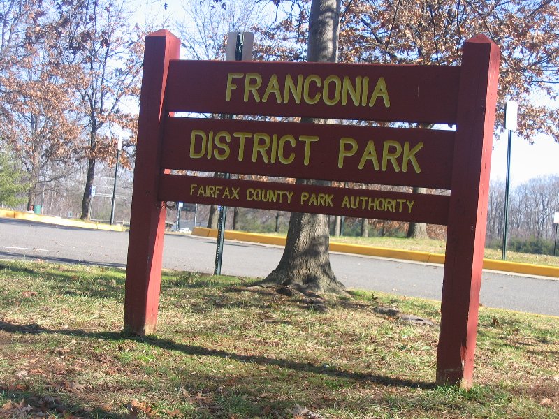
Located in Franconia District Park, Fairfax County, VA 22310 This cache is located in one of the most active sports parks in the Springfield-Franconia area. You are looking for a one gallon "Mixed Nuts" peanut container, painted to blend in with the environment.
The Franconia District Park is a medium size park in the Springfield-Franconia Community of Fairfax County, Virginia.
Great wooded area, behind the baseball fields. Went alittle out of our way but finally came back to the path and found it in the Hallow of the tree. Placed the USA Coin from Angie's Walk and took Santa Pez.
N 38° 47.600 W 077° 06.319
NE 2mi from your home coordinates
Located in Clermont Park, Fairfax County, VA 22310
This is another cache designed with one of our local geocaching legends in mind. If you don't like "Cashews", try "Peanuts" by flowerman (GCGCQK), also located in this park.
You are looking for a gallon size, recycled "Cashews" container, and in the spirit of flowerman's hides, it is painted to blend in with the environment.
The Clermont Park is a small park in the Clermont / Rose Hill Community of Fairfax County, Virginia.
There are trails through the wooded area of the park. This park also connects to Loftridge Park to the north, if you can find the right trails.
The cache is hidden not far off of a trail, and it is suggested that you use the trailhead point of entry during ballgames.

Loved this little park. It is great to see the area, we are really seeing parks we never knew were there. Easy to find, right off the path. Took snail bug!
NE 1.7mi from your home coordinates
N 38° 47.624 W 077° 06.833
Located in Mark Twain Park, Fairfax County, VA 22310
This is a tall (16") container, approximately 5" in diameter. You are looking for a recycled "Savory Blend" 'Pub Mix' container, and painted to blend in with the environment. Lots o' goodies inside! The Mark Twain Park is a small park in the Clermont / Rose Hill Community of Fairfax County, Virginia. There are only a few trails through the wooded area of this park. The cache is hidden about 20 feet off of a trail. No need to bushwhack to this cache ... it is a short stroll in the woods.
Parking and Trailhead can be found at: N 38 47.567 W 077 06.933
HINT:quick "park and cache"Base of a tree with a "bigfoot"
N 38° 48.810 W 077° 06.961
N 2.9mi from your home coordinates
It's been a cold and snowy winter and we've gone through lots of Ovaltine. Now there's a great cache container! This is an easy cache in a small out of the way park. Hint - this cache is findable even with snow on the ground.
Hint: well under a structure
The shelter was closed today so it was quite quiet. It was right off the path and between the rocks. Took the Kiwi Bug. We now have three bugs to put someplace. HELP!!
N 38° 48.309 W 077° 06.351
NE 2.6mi from your home coordinates
Very easy cache to find. Accessible to a handicapped person who can walk.
This is an animal lovers cache. It is located near the Viola Lawson Animal Shelter in Cameron Run Park. The cache contains a mixture of items. Some items are for pets. Others are an assortment of small articles.
d equipment, places for a picnic, and fishing for children. Open mid-March through October. HINT: it's a round here.The white rock is married to the gray rock.
Wonderful walk in one of our favorite parks. Took the wrong path but doubled back and found it. Took the USA coin. Nice walk but just as we got close to the car it really started raining. Went back on December 28th with the Grandkids and they added Slug in a house and took necklace tube. Kids had a great walk.
N 38° 45.632 W 077° 07.163
SE 1.2mi from your home coordinates
The cache name is in tribute to our little long haired Chihuahua, Angie, who always enjoys a walk through the park. She helped sniff out the hiding spot as well. Good job Angie!!
HINT: Near the base of something once tall.
N 38° 44.462 W 077° 09.7829
Well we were really lucky today...we not only found the new cache, first ones to sign in, but when we were leaving we found the old cache box. We put the old one next to the new one. We were not able to find it the first time we came but had a great day today. Great hide.
Easy find when there isn't a baseball game. Camo decon container. Should be an easy stop and grab when there isn't a game. Location is a neighborhood ballfield which has been established in the middle of semi-rural suburbia. Pioneer Baseball League has made a nice field away from the big rec center fields...nice field of their own. Cache will be witness to future baseball stars from Northern Virginia. Due to limited size...we decided to make this a foreign coin exchange. Initially, we put in coins from Austrailia, New Zealand, Japan, China, India, Russia, and Canada.
N 38° 45.042 W 077° 09.049
Great walk in the park. We found it right off the path which was fun. Got alittle muddy after the rain yesterday. Took the Furby bug and left a Diabetes Travel Bugs. TFTC
This cache was renewed with permission from flowerman, a local Northern Virginia legend for having some of the most interesting and fun geocache hides. Although this cache was not placed exactly where the original was, I think that you will find it equally challenging.
Located in Kingstowne Park, this is a gallon size container (cleverly painted to match the surroundings). It is loaded with all kinds of goodies for everyone.
While hiking to the site, enjoy the nature around you, skip rocks in the lakes (there are three large ones). Listen to the sounds of the bird varieties, and watch the frogs hop into the water as you come near. If you have a camera, you will want to capture the wildlife that you see.
No need to bushwhack on this one. If you do, you may find yourself on the wrong side of the lake(s).
N 38° 42.787 W 077° 05.788
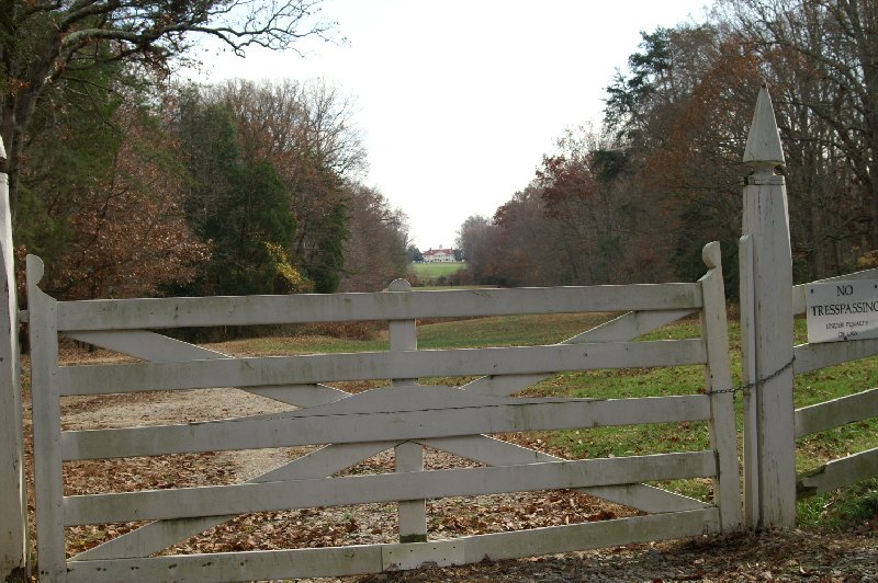
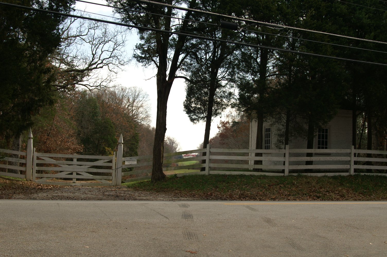
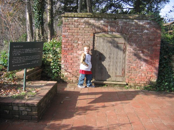
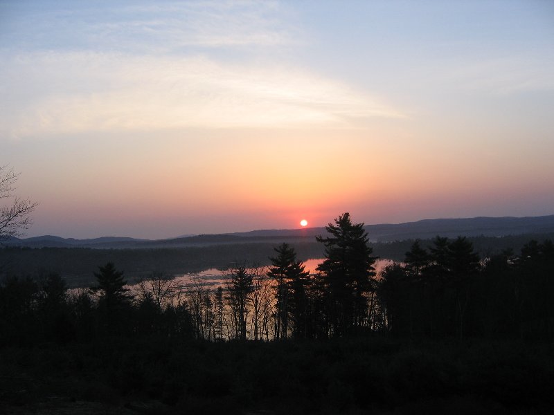
A view many people would never see but is wonderful and so perfect to think Washington saw this every time he came home!
When George went through this gate, he could see how incredible his estate really was.
This virtual cache is at the location where George Washington's original gate was to enter his property. It is not a great view but a good one of what George saw when he entered Mt. Vernon. This spot is not where most visitors go to check out Mt. Vernon. You'll have to do a little research to find the spot. To those history buffs, this will be a neat little treasure for you to imagine what it would be like to enter into Mt. Vernon over 200 years ago.
N 38° 42.402 W 077° 05.231
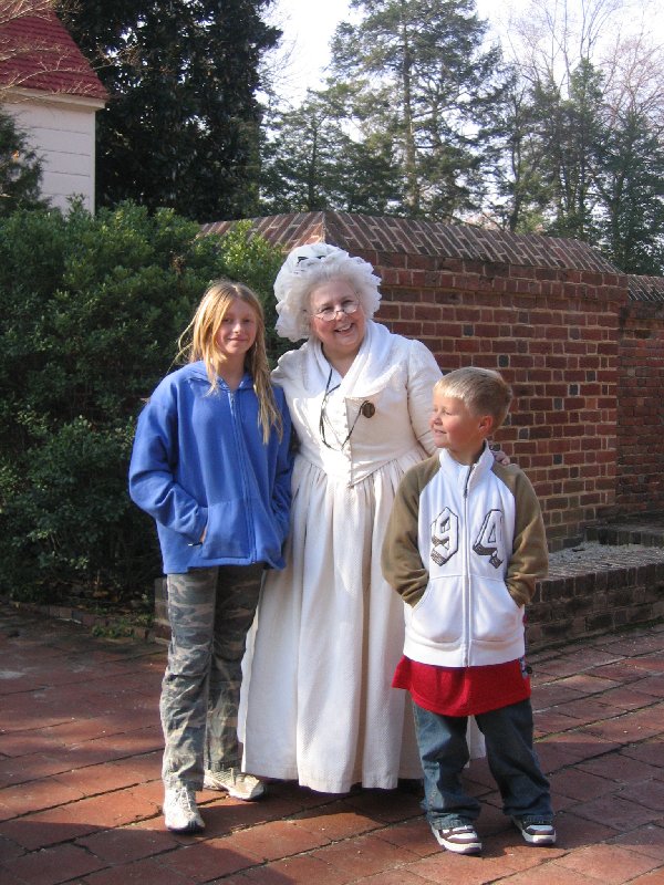
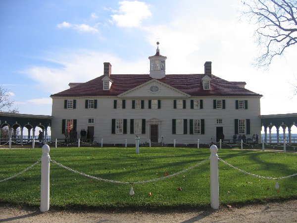
We had season passes this year...yeah. Wonderful day, even toured the house, luckily not many people first thing in the morning.
A virtual cache at the Washington's estate. Note: there is admission to this historical site. ~$11.00 for adults and $5.00 for kids. (I don't get any of it!)
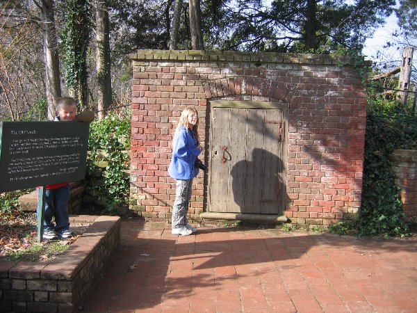
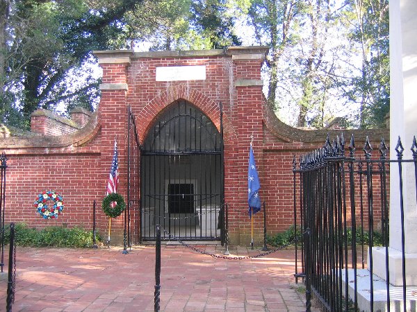
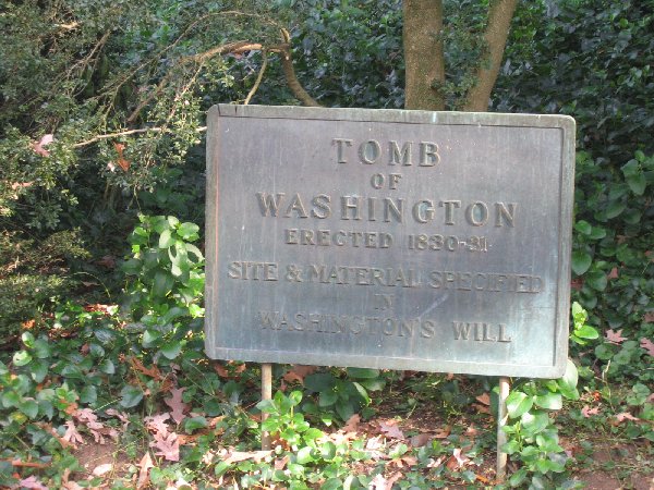
Find the plaque at the Old Tomb from the given Lat & Lon, above. [NOTE: A "virtual cache" is a location (usually without a logbook). "Cache finders" wishing to claim this site should answer the following question: Who decided that the Tomb of George and Martha should be moved? What construction material was specified for the new one? Send an email to me that answers these questions in order to verify your visit.] Next, try out the view from N38*42.288' W077*05.281'. Hope you have fun! ~ John, Amy & Kurt
N 38° 45.237 W 077° 40.603
The cache is hidden nearby, but NOT at the posted coordinates. Follow the clues below to find the cache.
Three may keep a secret, if two of them are dead. -Benjamin Franklin
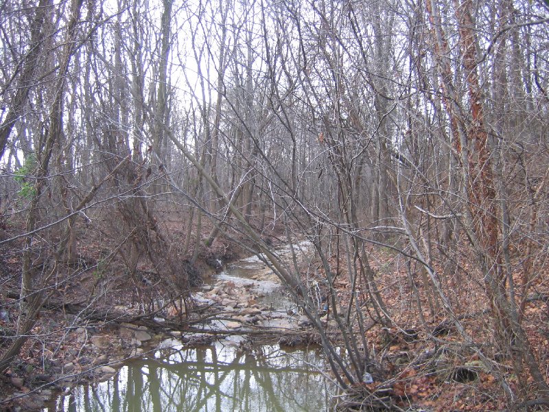
This is a fairly easy puzzle cache, in a small but fun park. You can park at the posted coordinates. There is a stream to cross, but there are bridges in several places if you stay on the path.
Actual coordinates: N 38 45.ABC W 77 40.DEF
* A = [Dragon, Butter, Horse] - 1
* B = Right, Love, Bermuda
* C = [Easter, Treasure, Long] - 1
* D = [Map, Box, Sea] - 1
* E = [Cat, Sword, Clown] - 2
* F = [Flood, Head, Night] - 1
I will be happy to confirm your coordinates if you want to check with me before heading to the cache.
Whumping Willow by Team Weathergirl (found:October 31, 2006)
N 38° 45.372 W 077° 07.310
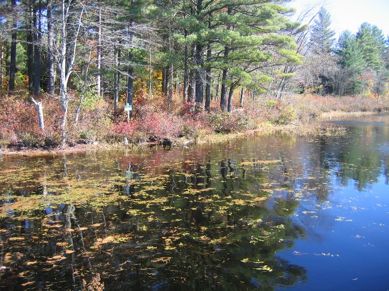
Wooded, undeveloped park land with a few trails. Flat terrain, sometimes wet, damp ground. Expect mud. Cache is off new blazed trail through woods.
Clear, round rubbermaid container. 7 in tall, 5 in diameter.
WOW,what a wonderful wood area. Great path and directions. Happy Halloween. Took camo bracelet and left Key chain.
Additional Hints:
Pybfrfg cnexvat ng A38 45.594 J77 07.413 ohg genvy vf qvssvphyg gb qvfprea nsgre jbbqra oevqtr.
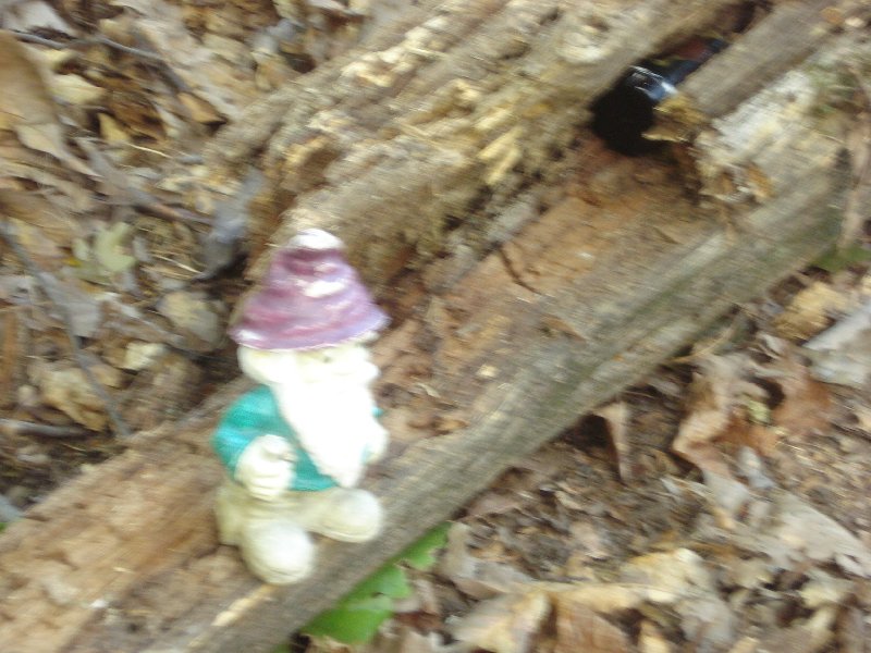
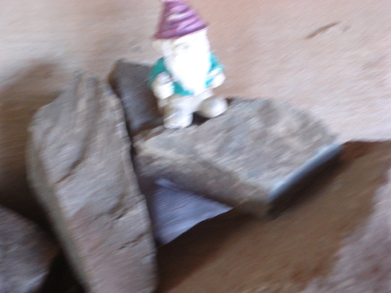
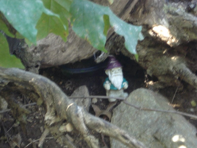
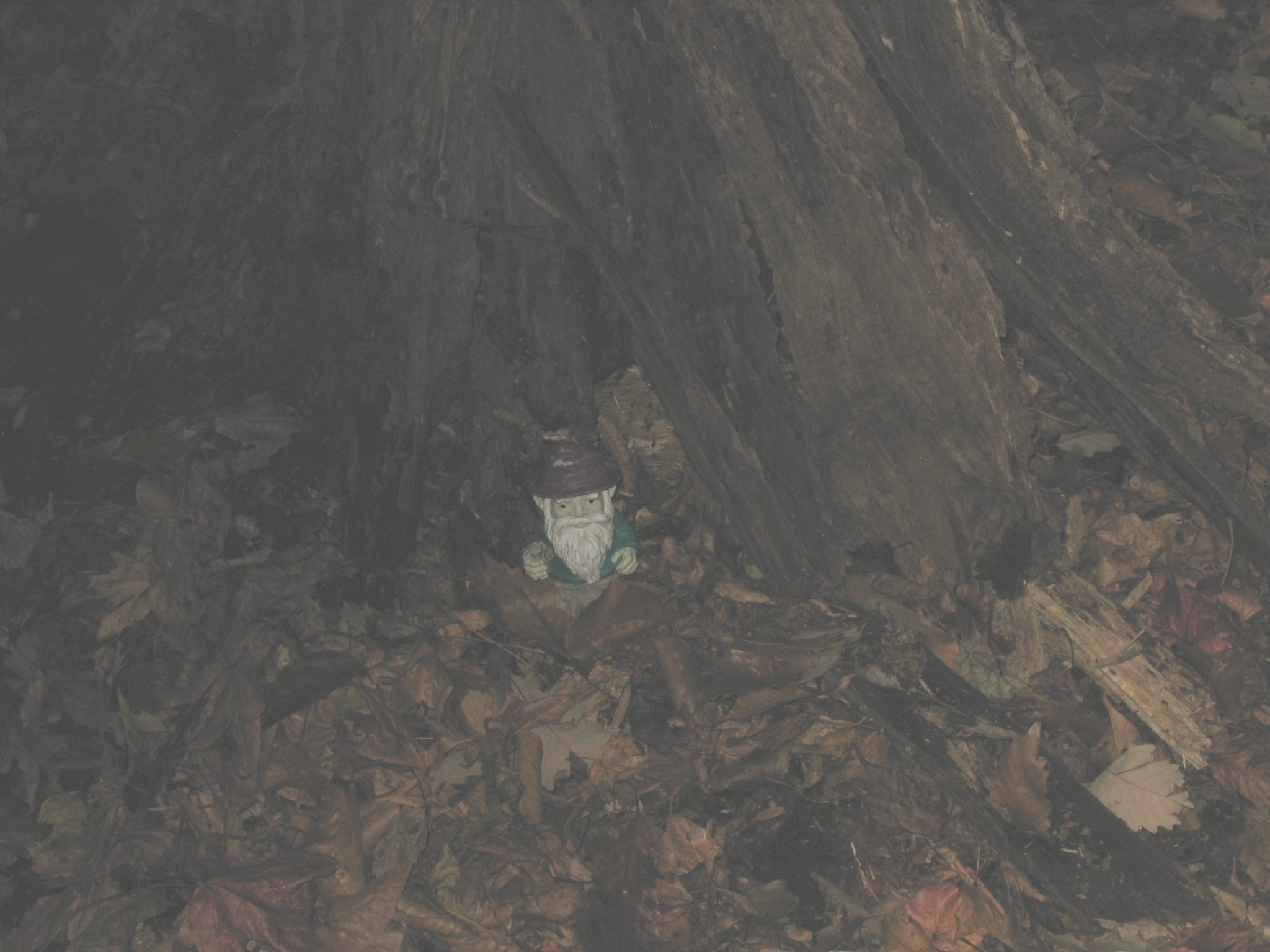
We now have a new friend...FRED the troll, he will be going on our adventures with us.

Rambo's Huntley Meadows Cache by Rambo the Cache Dog (found:October 31, 2006)
N 38° 45.480 W 077° 07.012
Found it, in the wonderful woods..great paths and walk.
This cache has been placed with the permission of Huntley Meadows Park. Park your car in the small lot on South Kings Highway, near the intersection with Telegraph Road. This is a rear entrance to the park, with access to the hike/bike trail. Please do not bushwhack when looking for the cache. Huntley Meadows is a rare natural habitat, and you can get to within 10 feet of the cache while staying on the trails. N 38° 45.480 W 077° 07.012
The cache container was replaced on 10/30/05. There is a fresh load of kid-friendly items and a new log book. Please make sure it is sealed properly to keep everything nice and dry. N 38° 45.480 W 077° 07.012
While you won't see this area while searching for the cache, Huntley Meadows has a 1/2 mile wetland boardwalk trail that can be accessed from the main entrance to the park off of Lockheed Boulevard. Huntley Meadows is also known as a prime birding spot, with over 200 species of birds in the park. N 38° 45.480 W 077° 07.012
The total hike for this cache is about 1.2 miles. Enjoy!
Huntley Hunt by Team Weathergirl (found:October 31, 2006)
N 38° 45.502 W 077° 06.714
This was a great wood and walk. Left Goofy and took Pumpkin (it is Halloween). Area would be hard in the wet. Take a left at the bridge.
Off side trail in Huntley Meadow Park. Easy to within 30 feet of cache. Last part could be challenging during wet season.
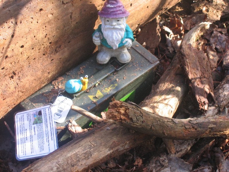
The cache is a standard sized cammo ammo can with a geocaching sticker on the side hidden in a traditional location. Hike from South Kings Highway entrance parking lot starts as paved road and transitions to paved walkway of varing age. Following a woodchip trail will lead to to the area of the cache. Site provides nice view of a cat-tail meadow. Relax and enjoy the quiet and wildlife. Last 30 could be challenging during wet season. Original cache contained mini screwdriver sets, mini flashlights, mini manicure sets, "I found it" magnets, FTF magnet, and a hackeysack (we bought in Guatemala). Also starting point for new "Tools of the Trade" TB.
Additional Hints: Gung fghzc vf vg.
Lee's Toybox by Team Weathergirl (found:October 25, 2006)
N 38° 46.307 W 077° 06.440
At the Lee District Park...a walk in briars, but great walk. Went on the bushwacking tour, hard to find the path with all the leaves. Loved the two parts and enjoyed it because it gave us more to look for. Took light keychain, and left mints.
Nice park with hiking trails, playground, etc. Traditional multi-cache in the woods. One quart plastic container filled with small items and a log book. Please close tight when you leave. Thanks
Semi-challenging multi-cache along the nature trails of Lee District Park. You can make this more difficult if you try to bushwack through the woods. Rating based on staying on trail until the last 200 feet. Cache (initially small toys and a where's george bill) put together by 6 year old who wanted to get into the fun. He chose the final hiding spot. First cache is at original "Lee's District" hiding spot and is a CD holder with coordinates of the cache location.
Additional Hints
1fg: va ubyybj gerr nez arne enivar
2aq: arne snyyra gerr
Rosemont Lewis cache by GPS-Geek (found: October 20, 2006)
N 38° 46.683 W 077° 31.178
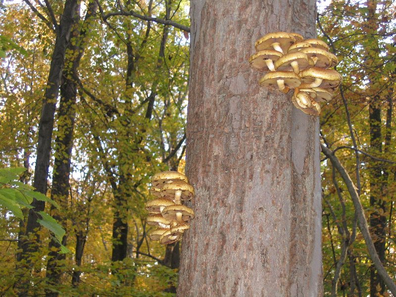
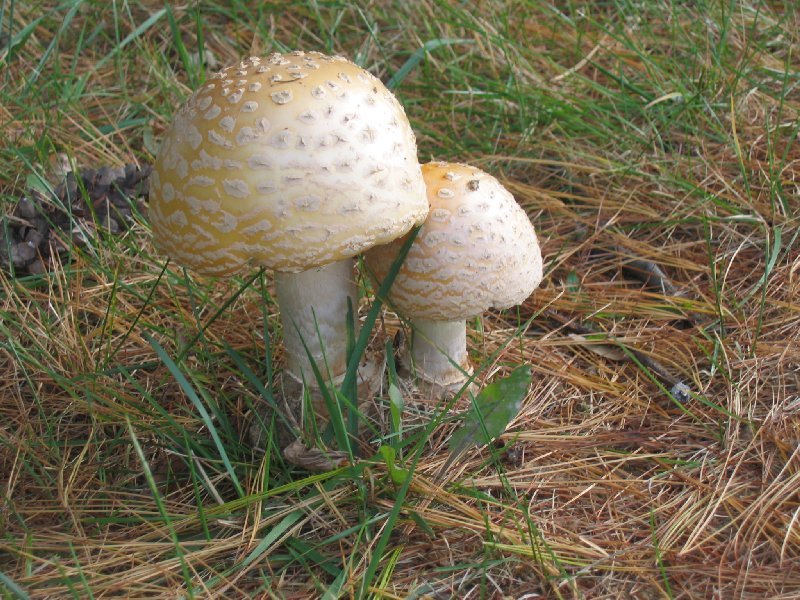
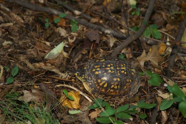
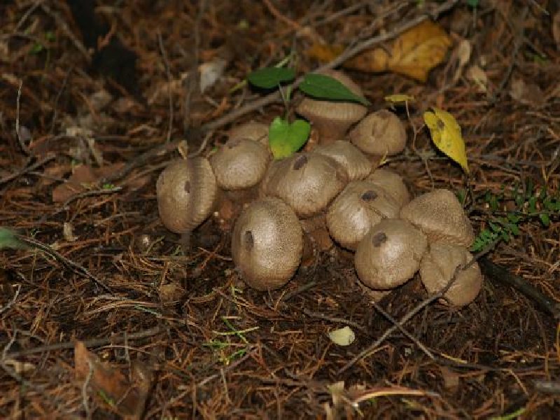
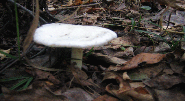
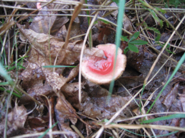
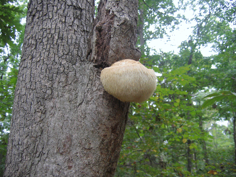
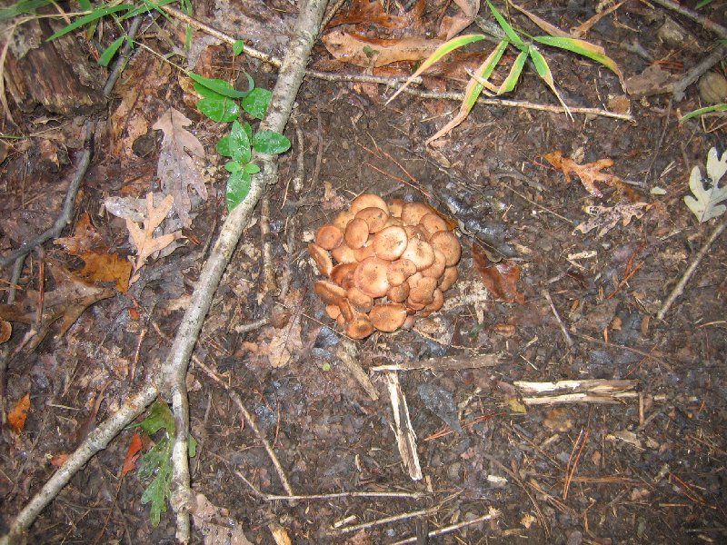
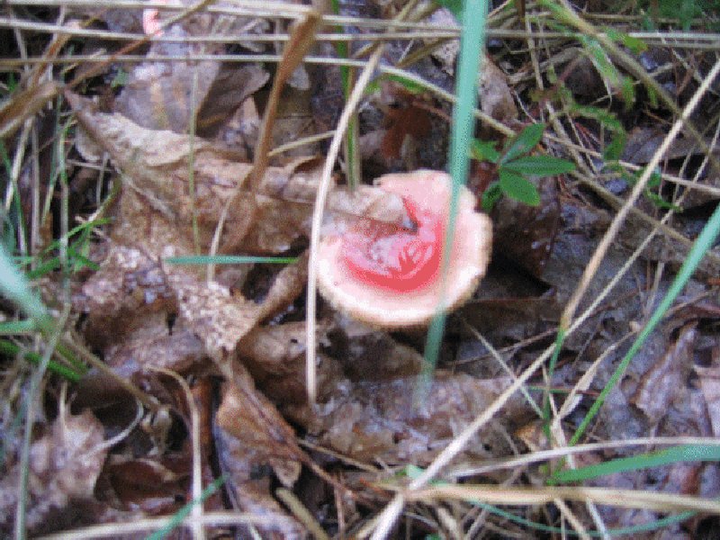
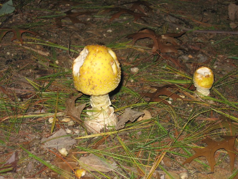
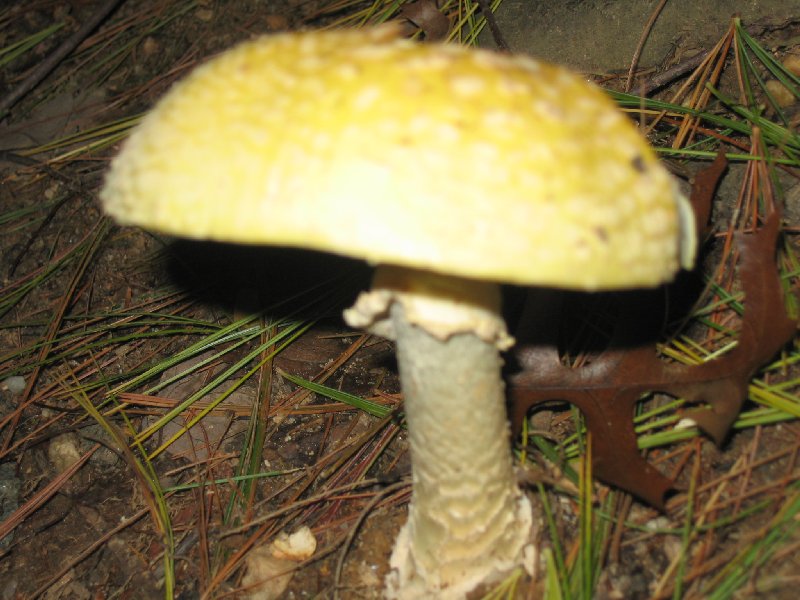
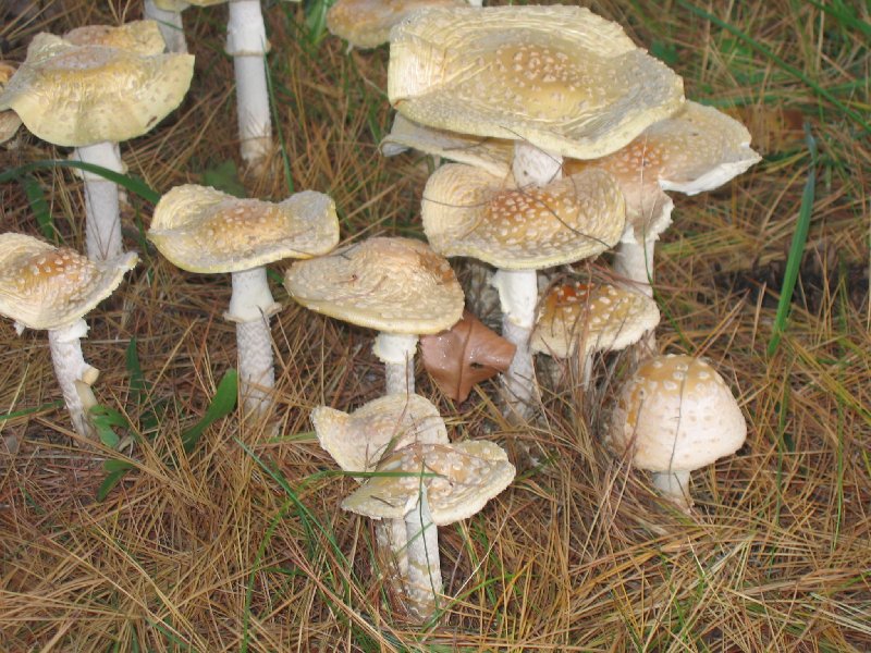
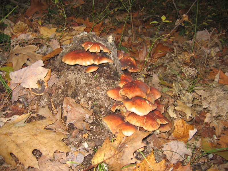
Wonderful area, never knew was there. Great woods area. Loved the mushrooms, saw a turtle, what fun. Left message, did not take anything.
Small park in Manassas
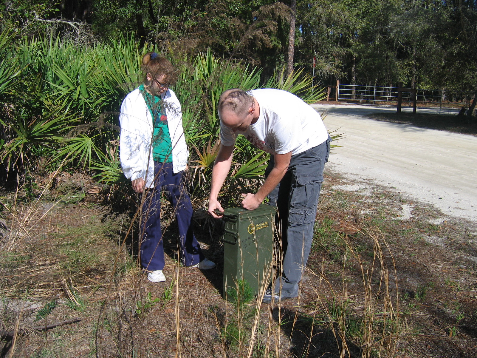
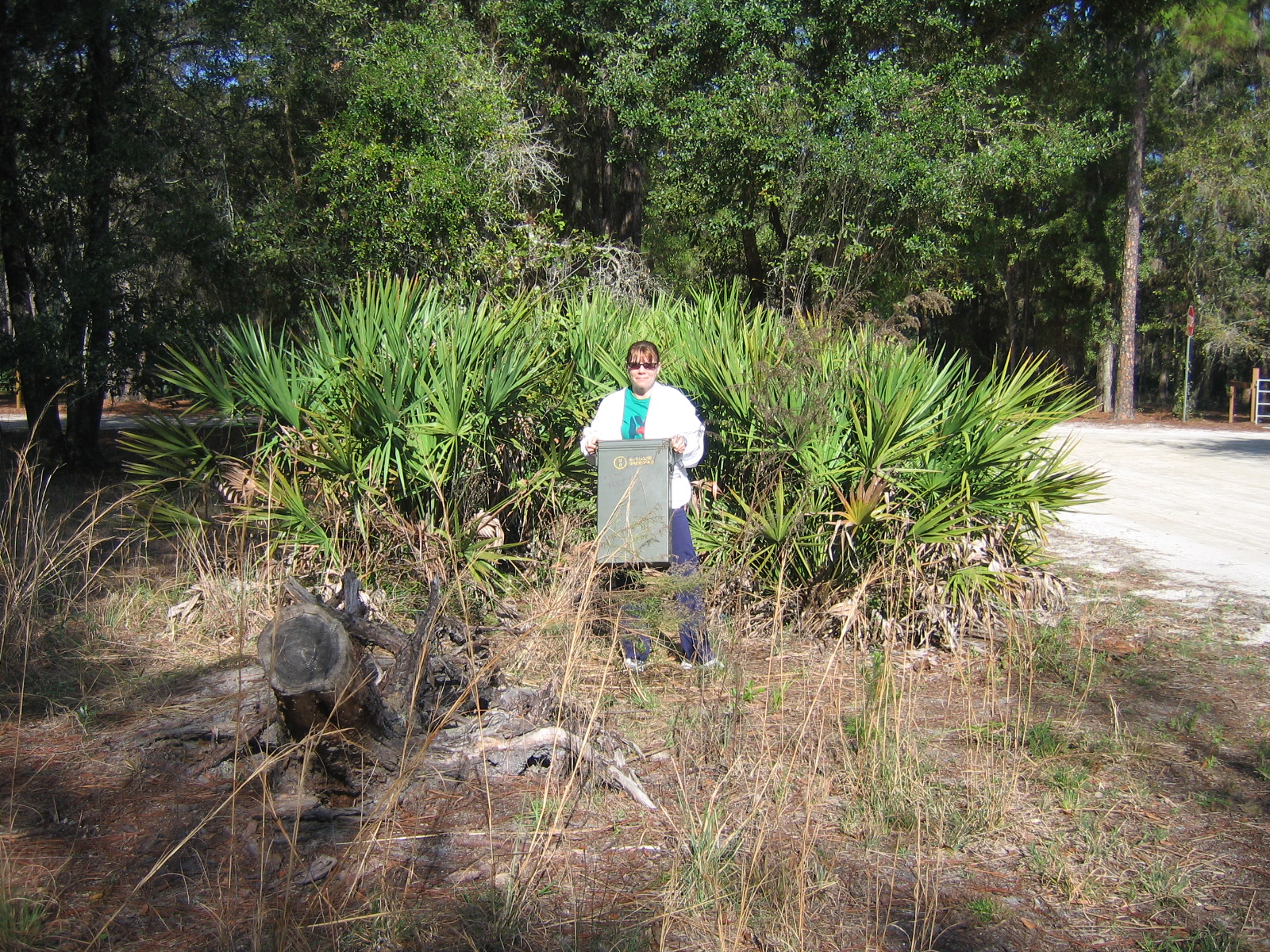
You are looking for a decontamination container.
Additional Hints: bss gur tebhaq
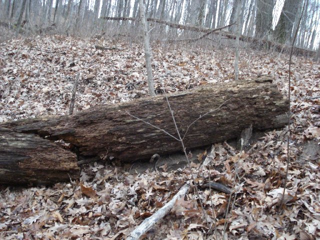
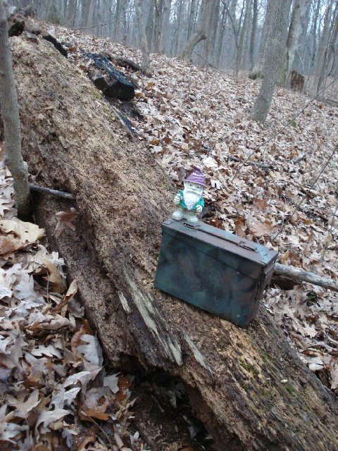
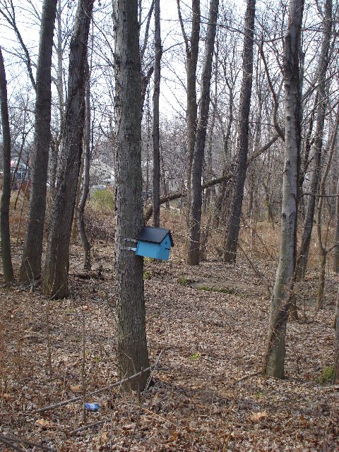
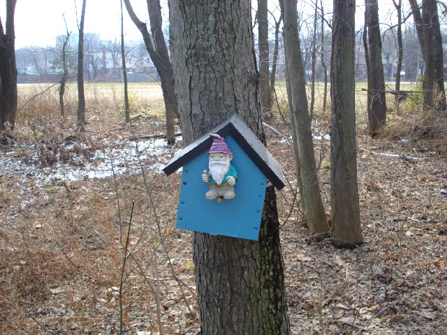
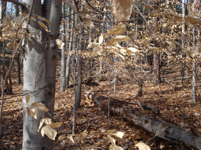
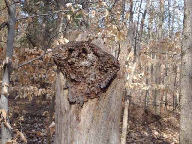
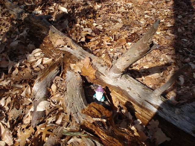
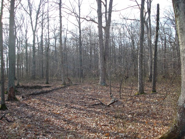
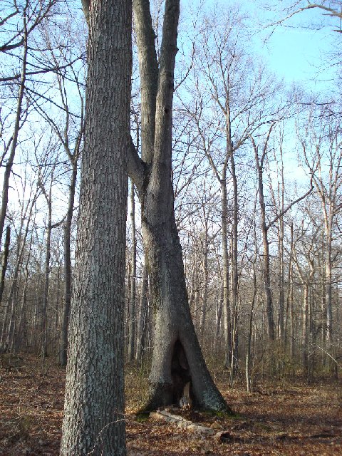
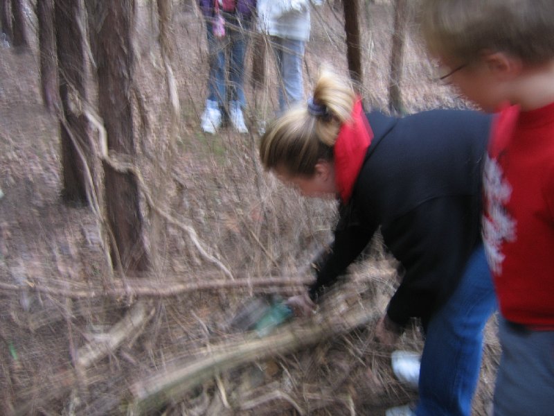
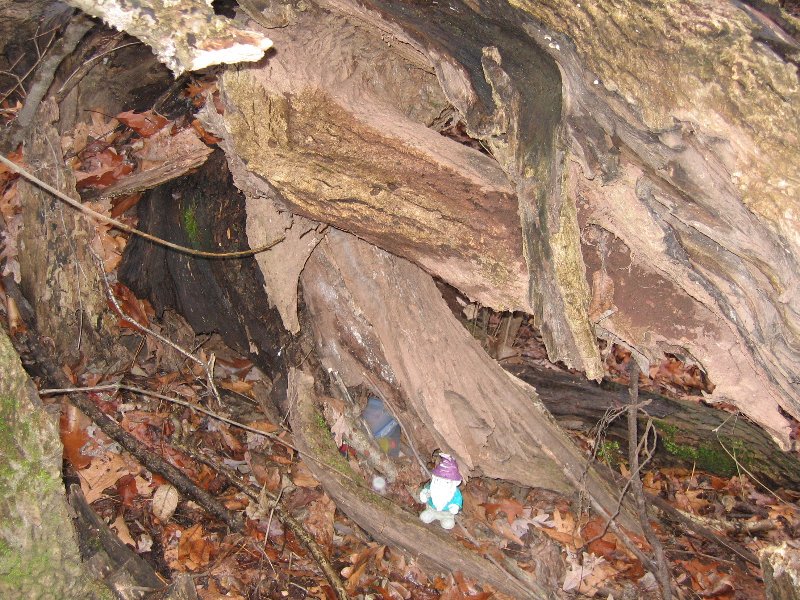
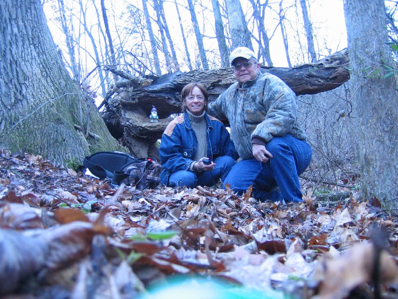
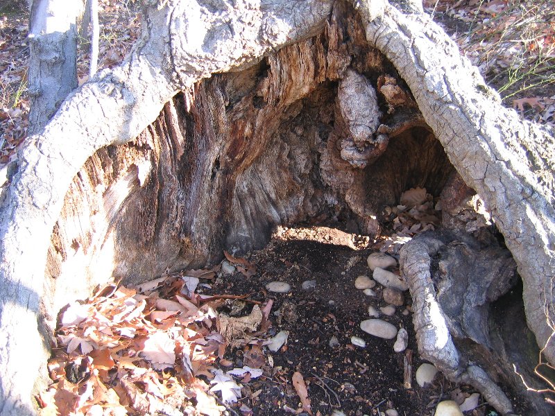
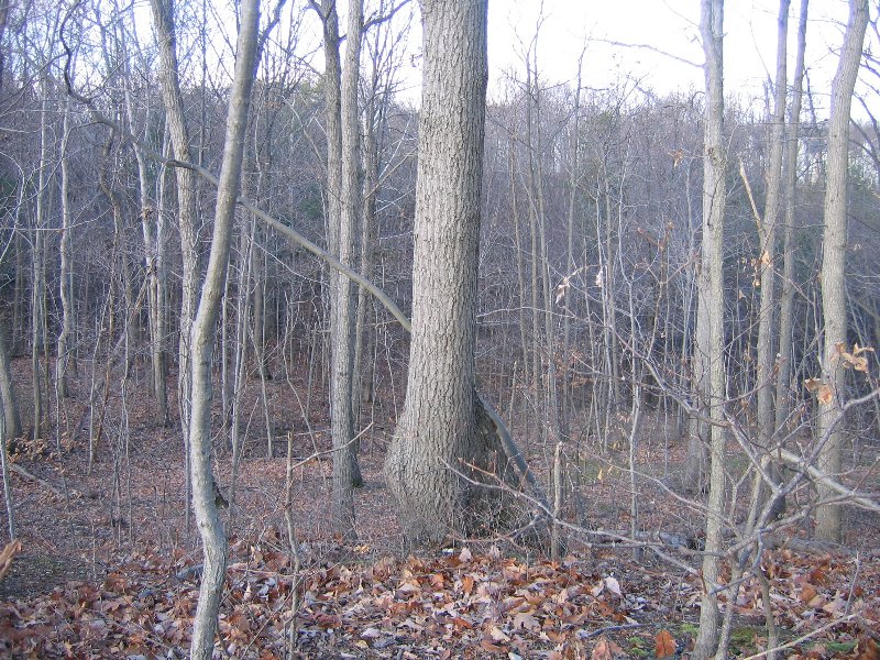
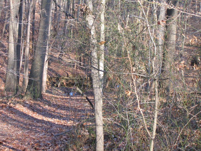
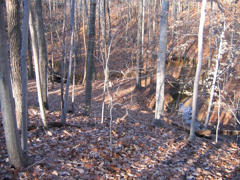
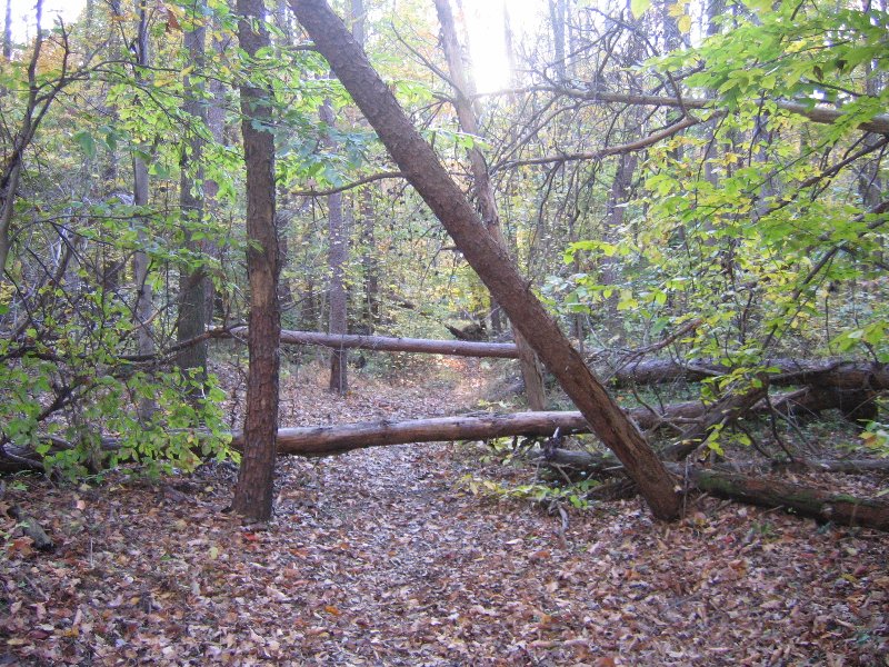
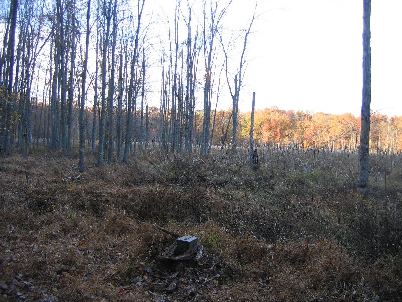
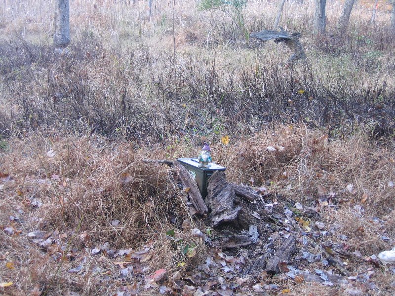
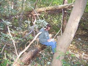
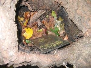
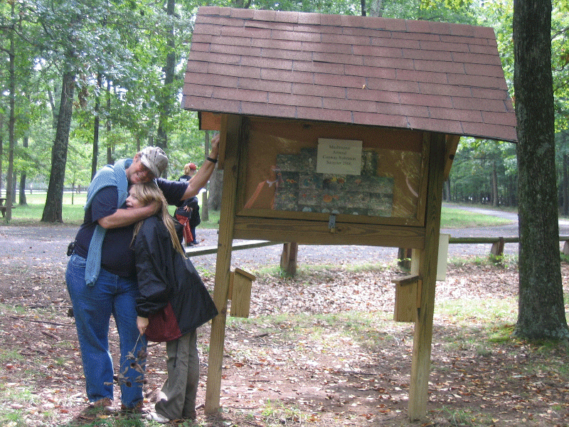
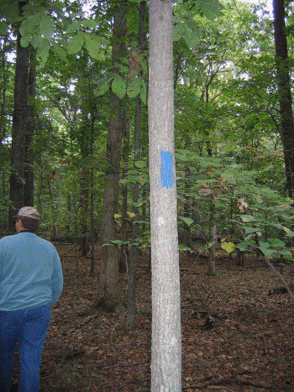
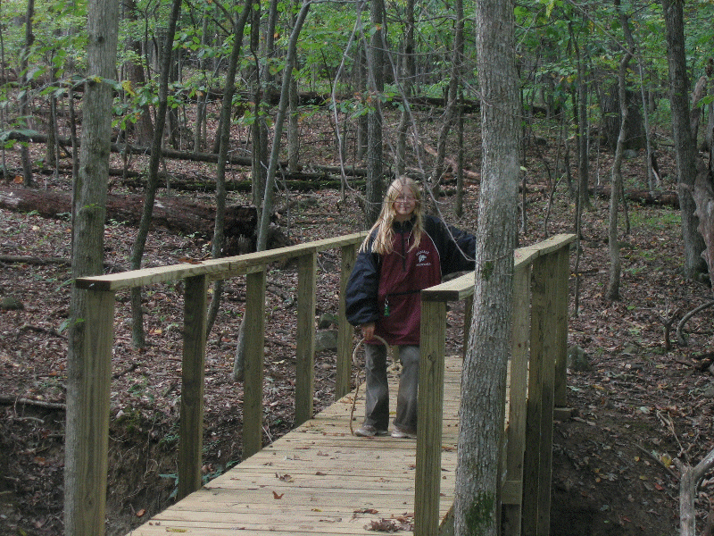
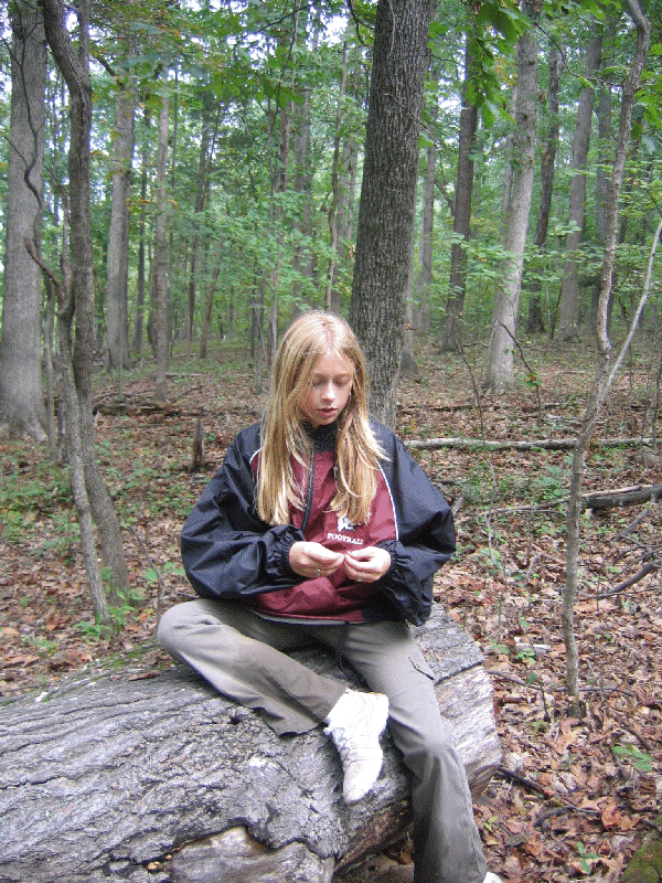
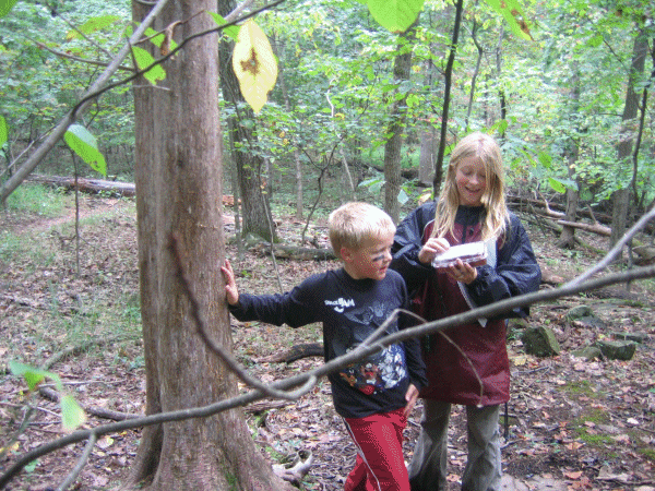
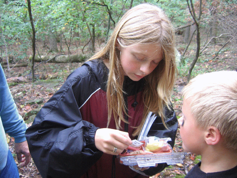
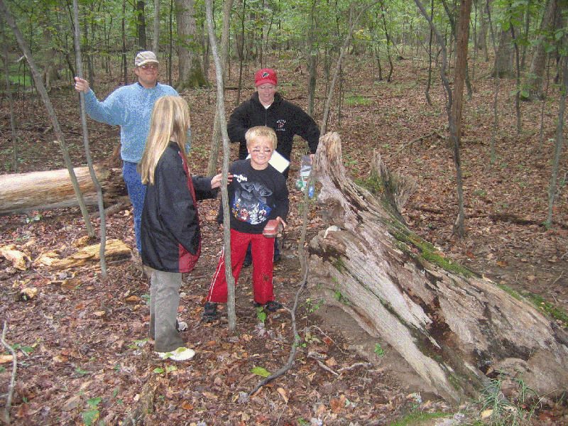
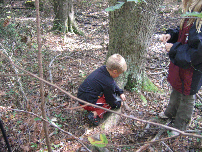
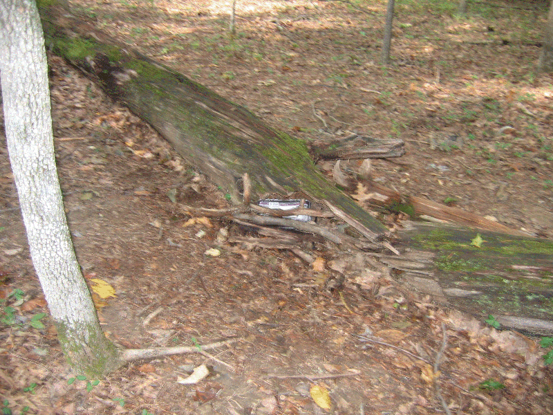
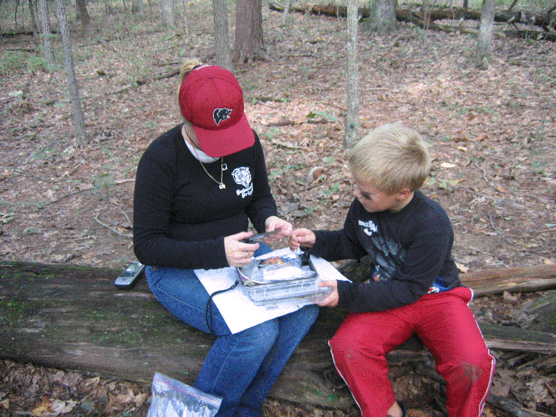
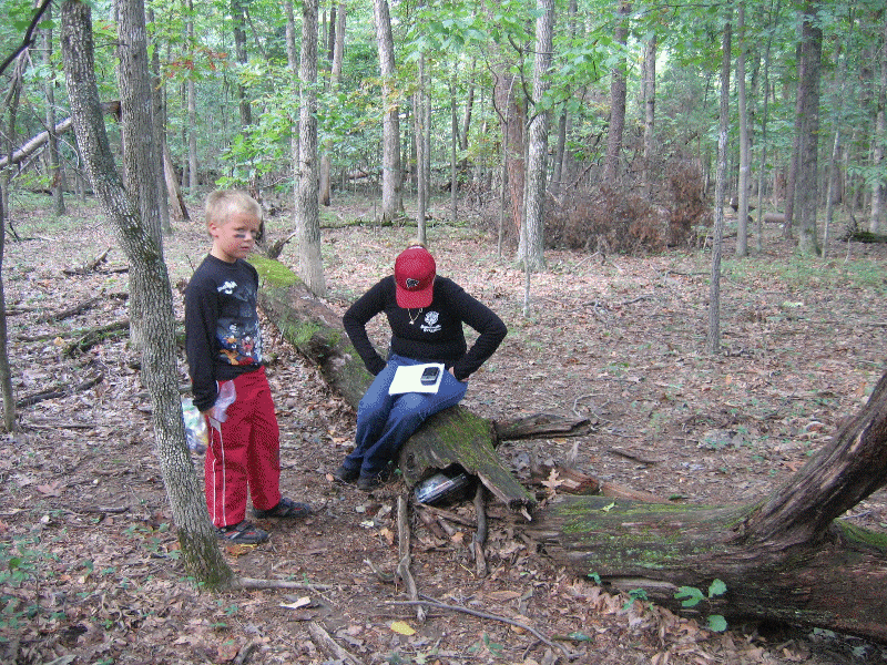
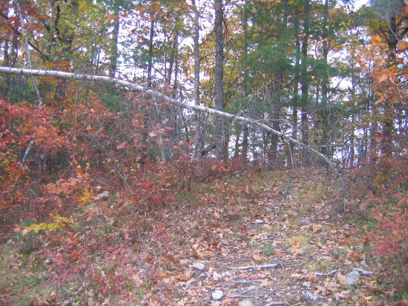
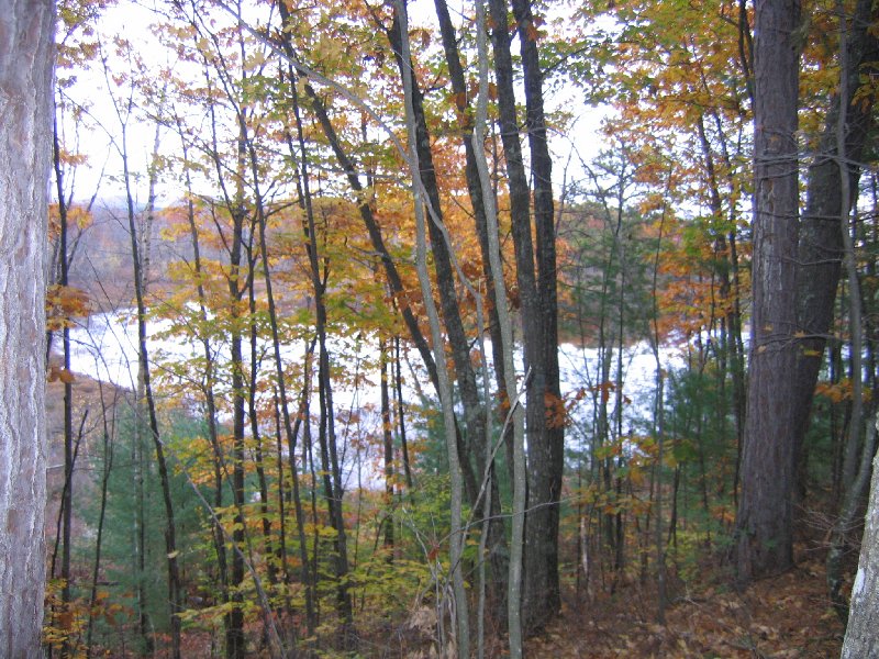
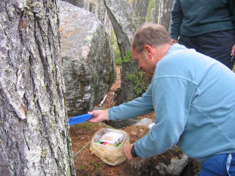
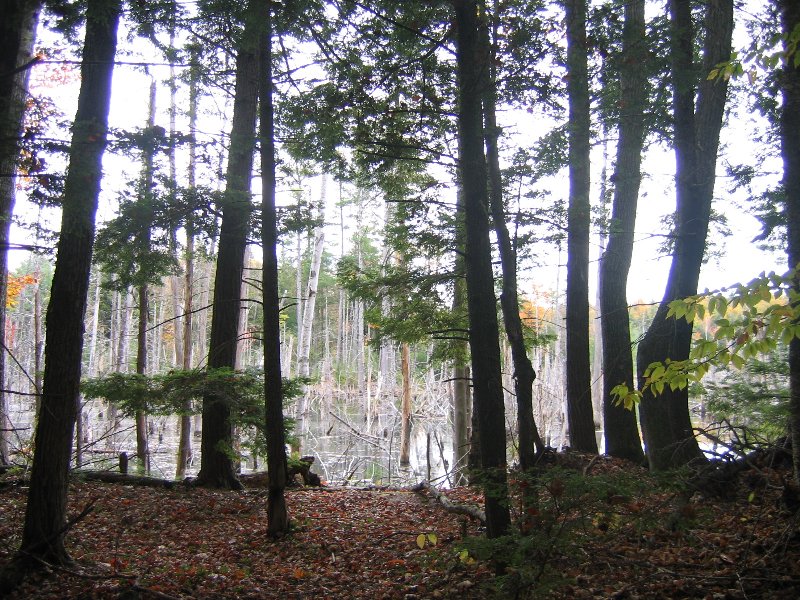
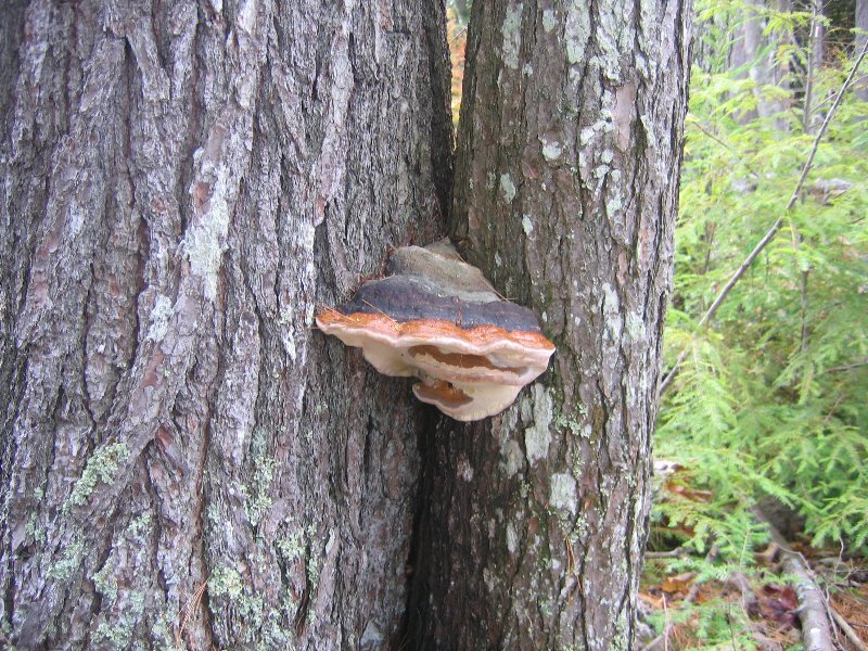
This is our first Geocaching Trip with our grandchildren (their second). We had a wonderful fall day walking in the woods. We found 5 out of 7 caches in the area of Conway Robinson Memorial State Forest and got some great treasures. It was about a 2 miles area to walk and the caches were not far from the blueline trail.
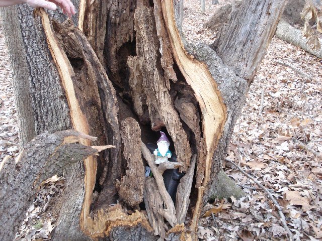
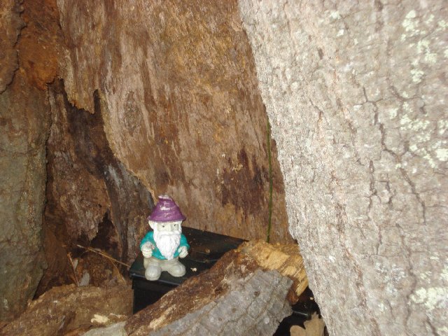
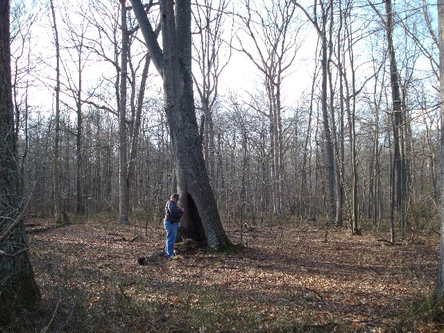
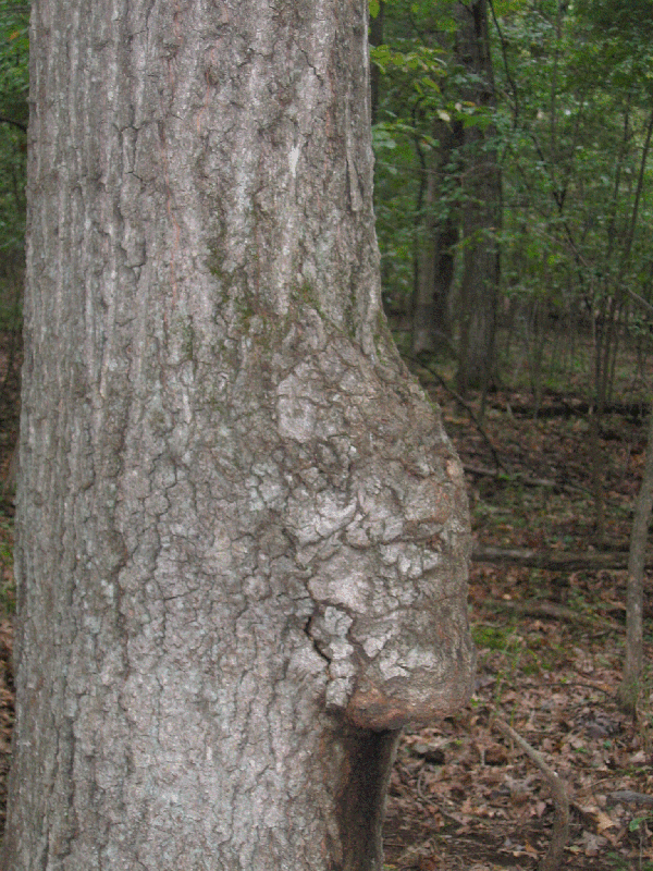
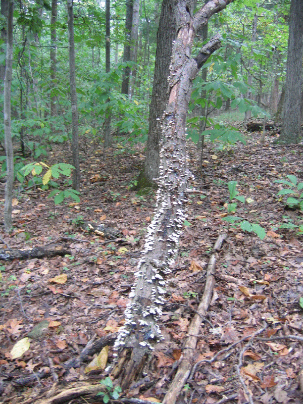
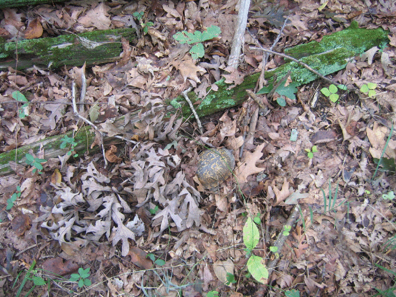
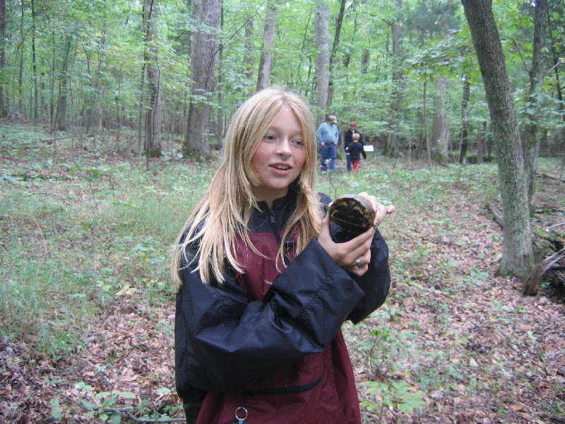
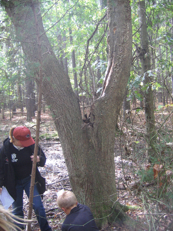
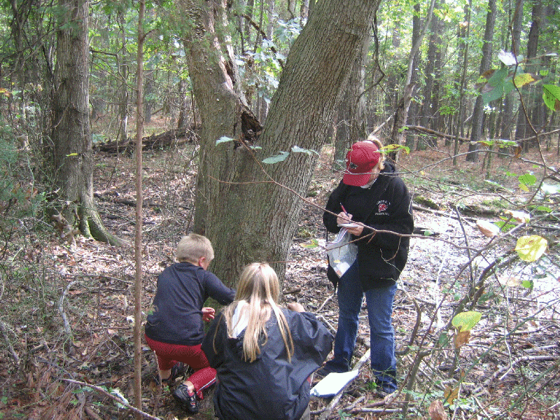
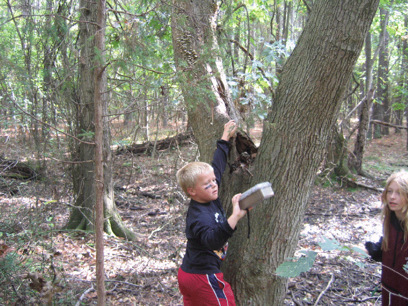
Fun Photos of the woods and sights:
 |
 |
 |
 |
 |
 |  |
 |
 |
 |
 |
 |
 |
 |
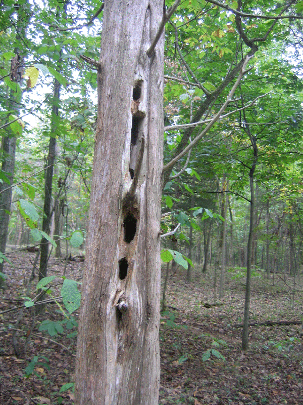
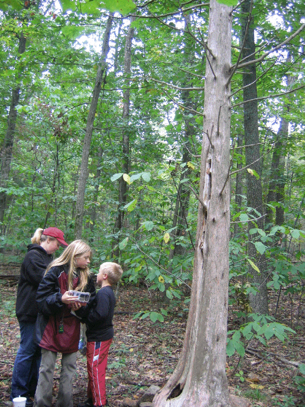
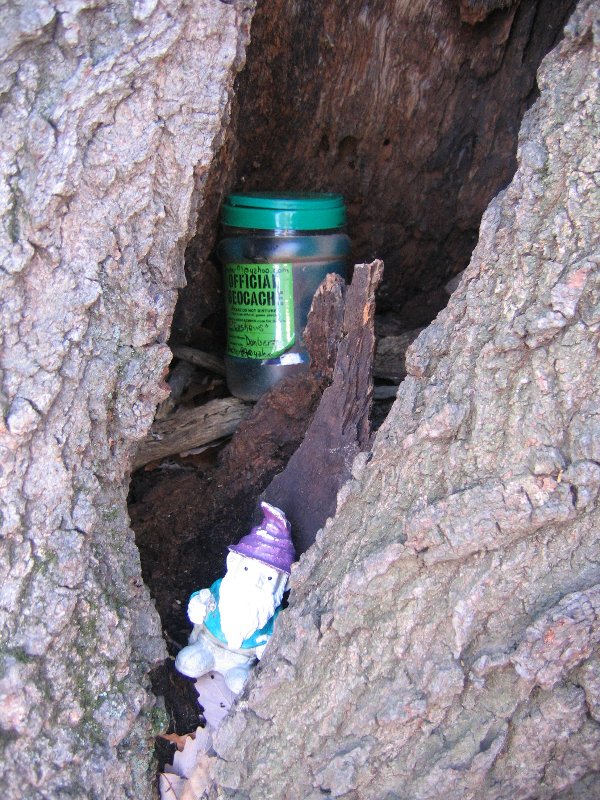
Was wondering what a pigeon hole looked like. Now we know first one found great hunt. Took pet samrt key chain left pink ball. TFTC
Traditional Cache Pigeon Holes by donbadabon
[view map]
Hidden: 9/17/2005
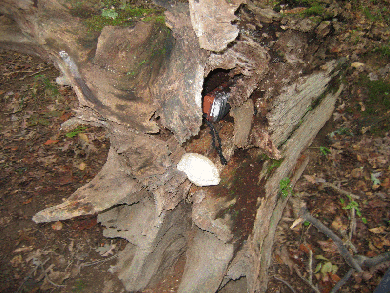
Located in Conway Robinson Memorial State Forest off US RT 29, a good place to park is near N 38 48.188 W 077 35.216. There is a little parking lot, and picnic area there. It can sneak up on you, so keep your eyes open. Note: After a rain, the trail system can get pretty muddy.
Most folks don't seem to make it to this area of the park. I never knew it went this far left until I looked at the map in the park. A nice walk down the blazed blue trail will get you here. Keep a lookout for bikers, hikers and horses, you may see them on the trails. Note: GPS reception is spotty in the park, therefore the hints are spoilers.

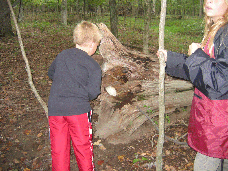
Thank goodness for the turtle shell really caught our attention. great hide and great adventure to find. took little gator left car. TFT
The Unfinished Railroad by donbadabon
N 38° 48.448 W 077° 35.645
UTM: 18S E 274749 N 4298608
Taking the outer left blue trail will get you to this area. That large area to your right is the end of the unfinished railroad that was going to lead from Alexandria to Gainesville.
This unfinished railroad skirts all the way across the park, but a lot of it is unblazed, so you may want to stick to the trails.
Keep a lookout for bikers, hikers and horses, you may see them on the trails. Note: GPS reception is spotty in the park, therefore the hints are spoilers.
Additional Hints ( Decrypt )
Decryption Key A|B|C|D|E|F|G|H|I|J|K|L|M ------------------------- N|O|P|Q|R|S|T|U|V|W|X|Y|Z (letter above equals below, and vice versa)
Va onfr bs snyyra gerr
Just was going over to take a picture of the cool looking tree and ended up finding the cache.. took spongebob game and ball left bubbles and dice...TFTC
Turning Point by donbadabon
N 38° 48.920 W 077° 35.256
UTM: 18S E 275337 N 4299465
This is where the Blue trail splits into the Little Bull Run Trail. If you are looking for an increased difficulty hike, Little Bull Run is a rocky, sloping trail that you may enjoy. There is also a very large, open field here, and a wooden ladder built into a tree. Keep a lookout for bikers, hikers and horses, you may see them on the trails.
Note: GPS reception is spotty in the park, therefore the hints are spoilers.
Additional Hints ( Decrypt )
Decryption Key A|B|C|D|E|F|G|H|I|J|K|L|M ------------------------- N|O|P|Q|R|S|T|U|V|W|X|Y|Z (letter above equals below, and vice versa)
Onfr bs gerr
No chiggers to report. son found this one. what a beautiful path. took marble and troll left sticky thing and car..TFTC
Temporary Diversion by donbadabon
N 38° 48.625 W 077° 35.098
UTM: 18S E 275550 N 4298913
A small cache hidden off the Kemper trail. Following this trail will lead you across the unfinished railroad, or you can hop back on the singletrack that got you here.
Keep a lookout for bikers, hikers and horses, you may see them on the trails. Note: GPS reception is spotty in the park, therefore the hints are spoilers.
Additional Hints ( Decrypt )
Decryption Key A|B|C|D|E|F|G|H|I|J|K|L|M ------------------------- N|O|P|Q|R|S|T|U|V|W|X|Y|Z (letter above equals below, and vice versa)
Va gur 'I' bs n gerr
Left the bug. Past on the way out but came back after we were happy to see the car.. Took water toys and marble and left key chain and frog..TFTC
Autumn Leaves by donbadabon
N 38° 48.215 W 077° 35.377
UTM: 18S E 275125 N 429816
This cache is accessed via the blue trail, the entrance is to the left of the picnic area. There is a map of the trails posted at the picnic area. Keep a lookout for bikers, hikers and horses, you may see them on the trails. Note: GPS reception is spotty in the park, therefore the hints are spoilers.
Additional Hints ( Decrypt )
Decryption Key A|B|C|D|E|F|G|H|I|J|K|L|M ------------------------- N|O|P|Q|R|S|T|U|V|W|X|Y|Z (letter above equals below, and vice versa)
Haqre snyyra, oebxra gerr gung unf fcyvg vagb sbhe gehaxf
April 16, 2008
What a wonderful walk along the coast and a beautiful spring day. Signed the log. Great hide. Alexandria VA couple

Second time here and found this time. Great hide. Only about a mile from where we were staying on the island. Wonderful weather, finally. Alexandria, VA Couple
April 19. 2008
Finally found it...it was in a different spot then we expected, but we did it. We were here last summer and didn't find it but knew it had to be there. Took nothing left a yoyo. Beautiful day and view. First to find this year!!!
N 43° 44.104 W 071° 23.428
April 17, 2008
We have been in New Hampshire many times but never to the Loon Center area. Beautiful spring day. Love the hide. Took Turtle and left calculator. Alexandria VA Couple
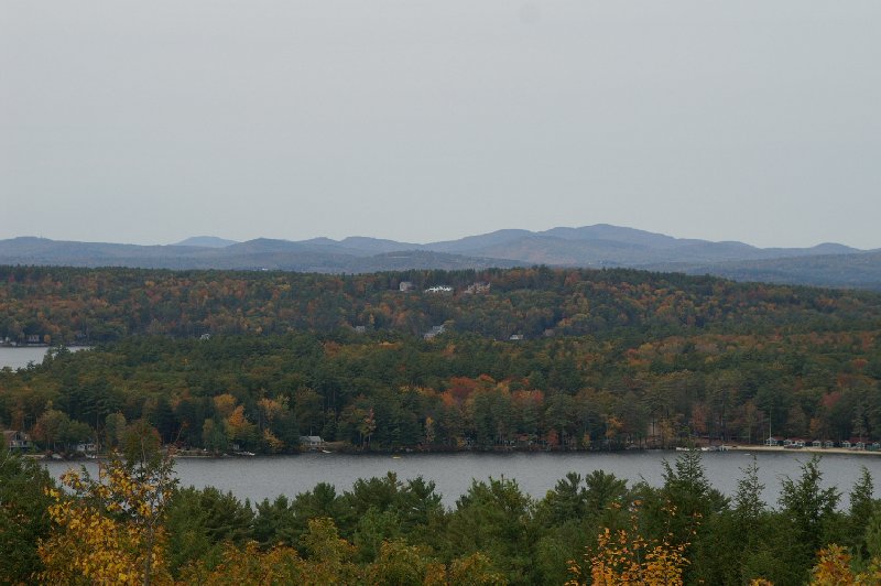
Short, easy walk with views of the water and marshy areas.
Park at the junction of Rt. 153 and Horseleg Hill Road. Trail starts to left and is wide and level but narrows down and climbs a small hill. Cache is standard ammo can with an etched pen for the first finder. The It's Never Too Late To Love A Loon Travel Bug starts on it's journey west.Lots of birds and interesting swamp plants can be found here.
Additional Hints:
Ybbx n srj srrg gb evtug bs genvy haqre fbzr qrnq jbbq.
We found it! Not the easiet walk but a beautiful view.
Park at the little white church in Eaton or directly across the street there is room for one vehicle to pull over. Follow the wide grassy logging road all the way up. It was beautiful in mid-June with daisies and buttercups (and ticks!!) The hike up is barely half a mile, but is steadily up, climbing almost 300 feet.
Come for this cache on a clear day, the view is awesome. It is not panoramic, but a splendid window including the best: Mount Washington and Carter Notch. It also looks down on Crystal Lake in Eaton.The cache is in an ammo box and contains assorted items collected from other caches, including a turtle travel bug, and a log book.
Additional Hints:
Va n yvggyr enivar, haqre n cvyr bs ebpxf, arne gjva sbhe vapu urzybpxf. (Qvq lbh ybbx va gur fubeg ubyybj fghzc? Vg vf bayl gra srrg njnl.)
Found it...boy was it steep! Lots of bushwacking.
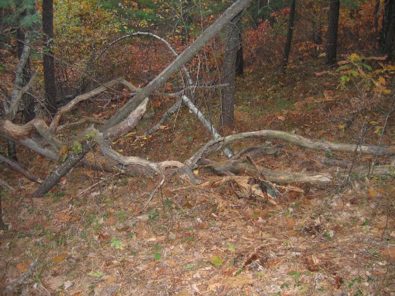
Now onto the cache. Parking is off Route 16 in Ossipee NH across from the Mt. Whitter Hotel beside the fire department. There is space for about two cars. Follow the main trail until you come to a small footpath that turns hard right. Don’t turn off too early, you will pass about 3 footpaths before you come to the right one. If you found the right path you should come to a nice view of Patch Pond on your left. Keep an eye out for the enormous beavers who live in this area. Only a 100ft or so of bushwhacking off the path. Cache is hidden in typical fashion. See pic for spoiler. Don't forget to find the two other caches hidden in these woods!
Additional Hints:
Haqre gur oenapurf bs n ynetr snyyra gerr.
Found it...after a long walk and going to different trails we didn't need to go to, but we did it.
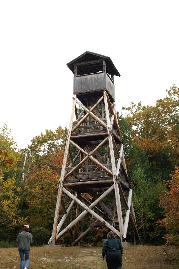
Park at N43 40.230 W071 17.532 Short but steep hike if you include climbing the tower. May not be suitable for young children.
Update 4/18 Changed the hint to letterbox style directions since it is impossible to get consistent readings here. Cache is an ammo can with trinkets and 3 Travel Bugs. Lots of tree cover here. This can be a very popular spot at times so rehide well.
Additional Hints:
Fgnaq jvgu gbjre ng lbhe onpx snpvat gur genvy vagb gur jbbqf. Jnyx nobhg 60 fgrcf qbja gur genvy, ghea gb lbhe evtug naq jnyx nobhg 40 fgrcf. Pnpur vf haqre ebpx.
Great View and walk, but could not find the cache!
Very little walking to find this cache at a popular birdwatching spot.
Bring your own pencil. This can be a very busy place at times so please be discrete! The morning I placed this cache there were a dozen loons nearby.
The cache is a large medicine bottle in camo. The driveway to the dam site appears to be a private driveway but it is not. This is a shared driveway to the dam. Please watch your children.
Additional Hints:
Abegujrfg pbeare bs gur ohvyqvat va gur fgbar jnyy.
WOW! The Dam was so great. Found the cache once we got the coords right. Took a turtle charm and left a key chain.
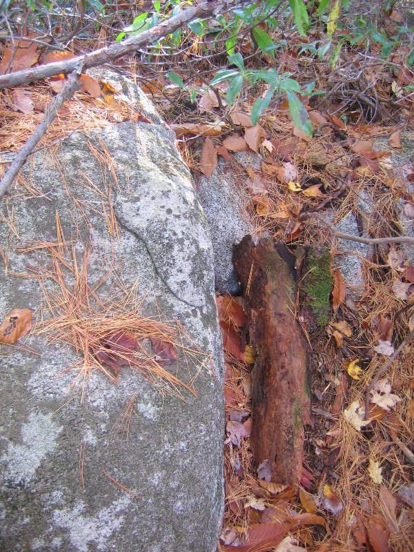
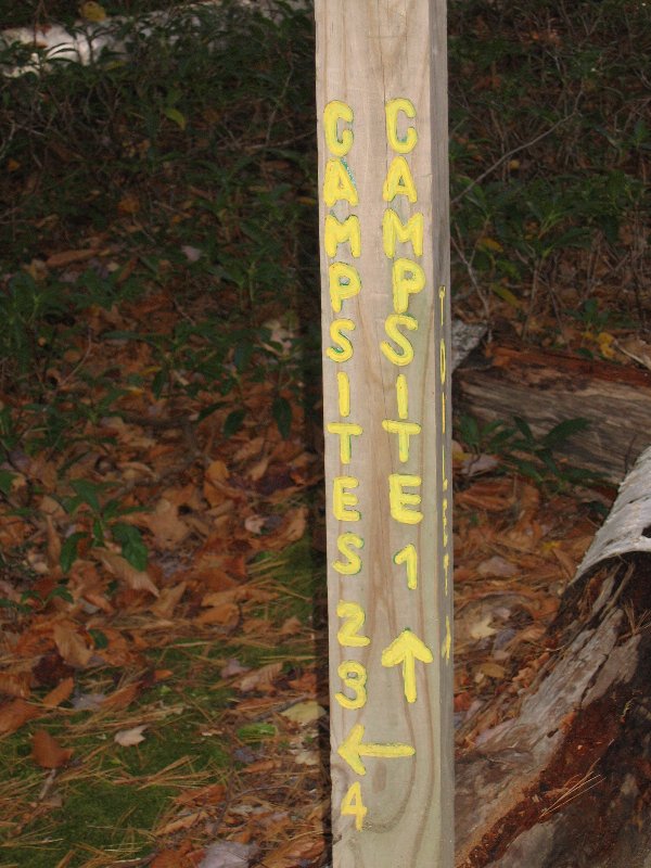
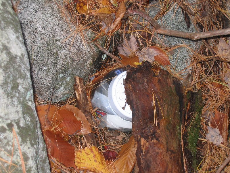
Cache is a 1 gallon rubbermaid plastic storage jar with a white screw on top. Is located at Wister Point in the Chamberlain-Reynolds Memorial Forest on the shore of Squam Lake. Park at either the East or West parking lots on College Road in Holderness, NH. This road is a short road that runs from NH 25B to Rte 3. Follow the trail posts that say "Beaches - Campsites" Cache is about 1 mile from the east parking lot. At the beach follow the trail to Wister point and Campsites 2,3,4. Their is a seasonal caretaker at a campsite to say hi to. The cache is pretty close to the shore but not close enough to be washed away. Head around the point after finding the cache and visit hidden cove. This area is a beautiful spot !!
Additional Hints:
Arne n ynetr ebpx.
Wonderful walk, great view of Squam Lake. Found behind the rock. Took a New Hampshire magnet and left a magnet clip.
Don't let the name deceive you, this cache is NOT located near Belknap Mountain. Take the Beaver Pond Trail (short loop). The cache is a plastic container with a blue lid. The original contents of the cache were a camera, a deck of cards, silly putty, crayons, a dinosaur, and a mini spot light. I also put in a bug, "Let Freedom Ring".
Additional Hints:
Ybbx haqre n ebpx arne gur "chapurbaf".
Didn't take a cache...Great Walk. Take the Yellow Trail. Neat Beaver Trail.
Took Jeanne and Savannah to this one, loved the walk on the tight rope. It was easy to find once we got in the right area.
Located in a nice Harford County park. You can get quite close by following the trail system in the woods behind the sports fields. Good sized Tupperware container. Please rehide in same spot and completely conceal. Have fun, trade up or even.
HINT:Easiest way is to walk the tight rope
Took Jeanne and Savannah to this one, it was a park that Jeanne use to take the kids to. Nice and easy.
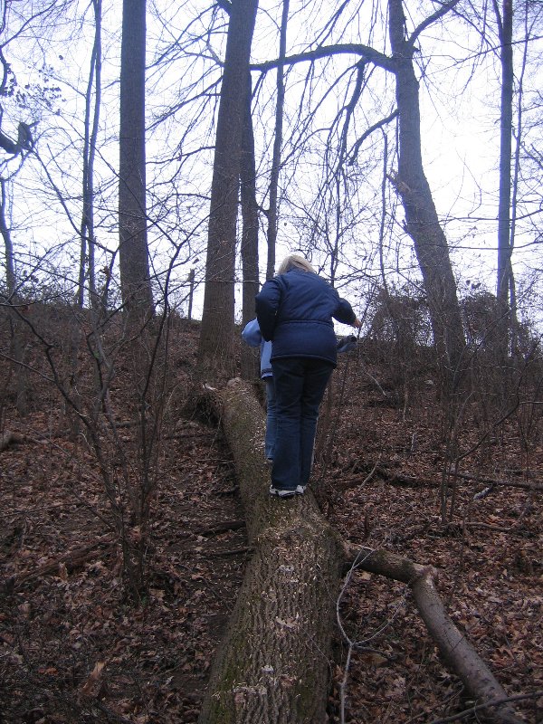
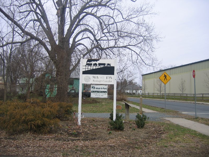
This is a small cache containing a log book, pencil and a few small trinkets. Small trade items or a very small TB will fit into it. The cache is located very near the parking area of Friend's Park trail head of the Ma and Pa Trail. It is not far off the trail, so extremee stealth may be needed. You may wish to bring your own writing instrument.
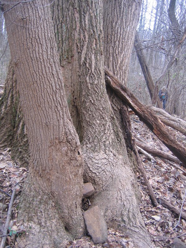
HINT: Split tree
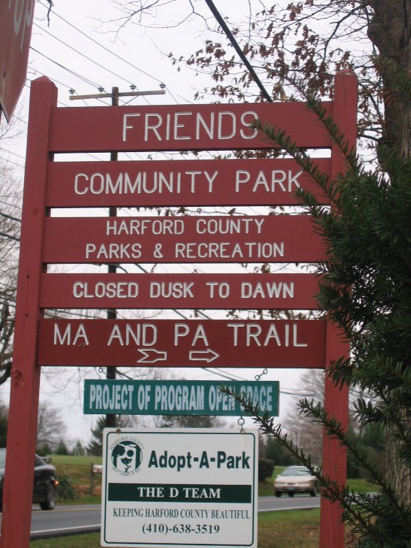

This is one of the caches along the Ma & Pa Trail. The idea was to provide a multitude of finds with only one parking area. These caches are along the Ma & Pa Heritage Trail in Belair.
***This cache has been moved slightly due to prior spot being destroyed, check adjusted coords.*** This cache is in a Medium Size plastic container with a screw on lid. There is sometimes a lot of traffic on this trail, so you will have to be stealthy in some cases, when you find the caches. The trail is very well maintained, most of the caches are just off the trail. PLEASE REHIDE COMPLETELY! If you can see it , cover it.
Additional Hints ( Decrypt ) Log jqyour find
Got to do this with Jeanne and John, during the New Year weekend. Great find. The bushwacking was wicked...alot of stickers.
Located in a Harford County Park, getting to the parking lot is half the fun! Cache is in a small Cool Whip container. The accuracy only read 29 feet when placed. Don't pay attention to the coordinates on the cache container, as it was moved. You can also bushwack to this site from the Ma & Pa Trail.
HINT: Pile of Twigs
A Cache-N-Dash with a dash of history
This cache is located in Crumpton Maryland (circa 1749) and will afford you some interesting sites and delights.
There is not much to see in this town, except how wonderful and peaceful the Eastern Shore of Maryland really is.
Crumpton was named for William Crump and this cach is near the landing of Callister's Ferry which operated as a rope and raft crossing in the 1750's and 1760's
You may want to avoid this cache on the weekends during warm weather because of an abundance of muggle activity around, as this is a favorite spot for many a muggle to fish for catfish and the occasional rockfish. (Chester River)
The Cache is well concealed - and I ask that you be sure to keep it that way, lest it fall prey to the aforementioned muggle populace.
The container is well stocked currently.
When exploring this area, be sure to walk to the end of the point to see the old ferry landing and get a glimpse of the bridge (which seems to be slowly falling into the river).
We found it! Once we got the coords right.
Got alittle turned around but found a local cacher to help us. Great area, down for vacation at the Sundial Resort. Can't wait to come back to Sanibel and this beach.
A nice walk through one of our favorite places on the island. Sanibel does have alligators, so please use caution and stay safe. Start your adventure using these coordinates to park. N 26 25.529, W 082 03.963 There is a $2.00 per hour parking fee. This cache will lead you on a beautiful nature walk through a historic area of Sanibel. The trailhead is located at N 26 25.701 W 082 03.842, just off the bike path. You might want to bring a picnic during the day or your own special beverage to enjoy the sunset after you find the cache and return to your vehicle.
HINT: Opposite side of the trail from the picnic table

Love this beach. Wonderful cache, found this and Hop To It. Here on vacation with friends, staying at Sundial Resort. Will be back.
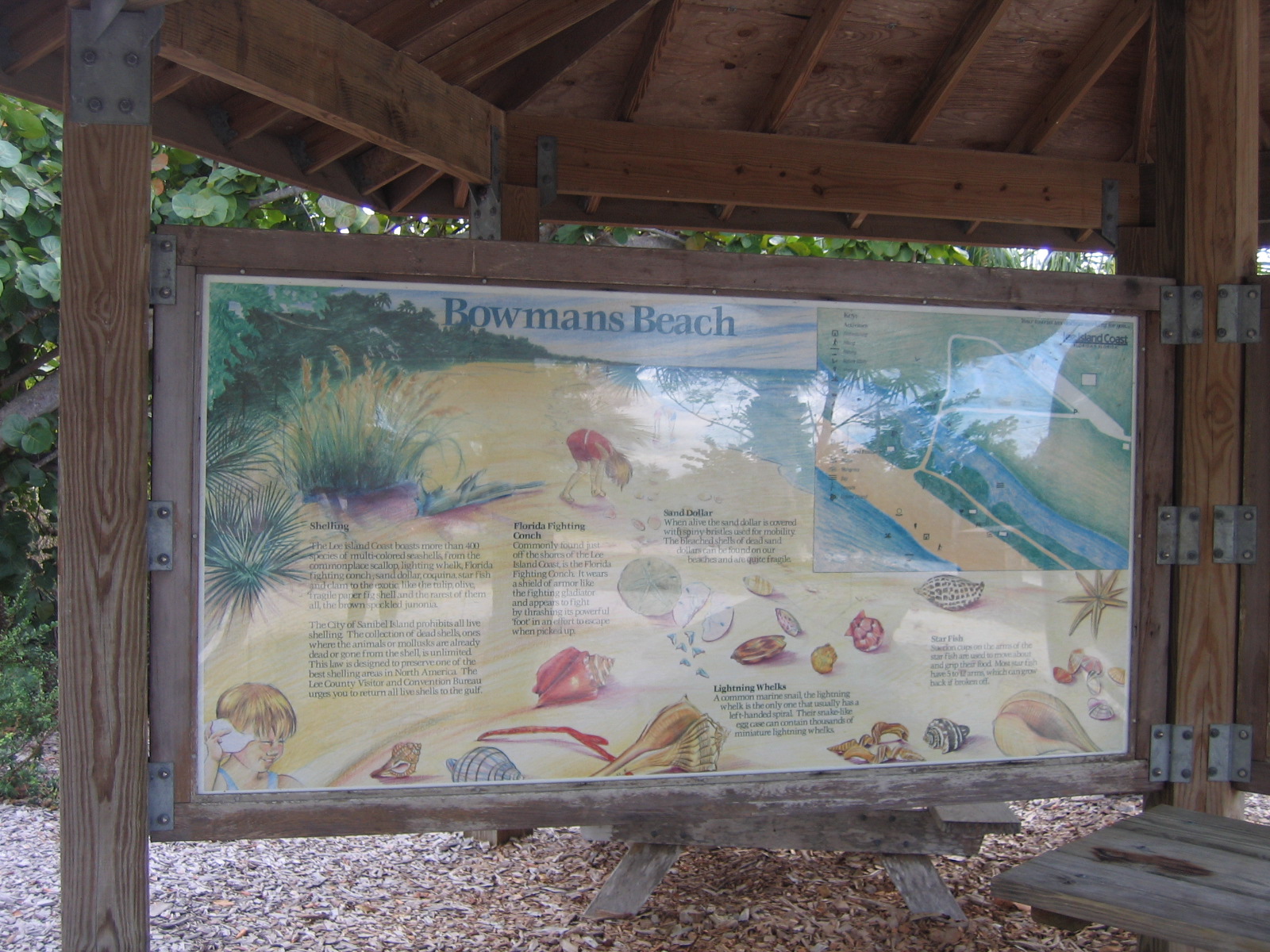
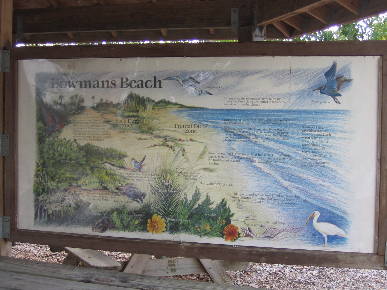
Just a short walk from Bowmans Beach parking lot. $2/hour to park. May want to wear more than beach shoes to locate (i.e., tennis or hiking shoes.) Lovely setting to observe wildlife and sunsets. This cache is located within a 5 minute walk of the Hop To It cache.
HInT: From parking area, walk toward beach; go over footbridge; then right onto foot path. You should soon be sitting on top of the cache.
Love this beach. Wonderful cache, found this and WOW2. Here on vacation with friends, staying at Sundial Resort. Will be back.
Located in pretty Bowman's Beach Park. Bowman's Beach is a popular spot with great shelling, picnic tables, bathrooms,and bike racks. Directions: after the Sanibel causeway bridge, make a right on Periwinkle Way to Tarpon Bay Road. Turn right on Tarpon Bay Road then, then left at the 4-way stop on to Sanibel-Captiva Road. From this road, turn left to Bowman's Beach Road (brown sign). ($ Parking)
HINT: To the right of a trash can at the base of a tree covered with palm fronds
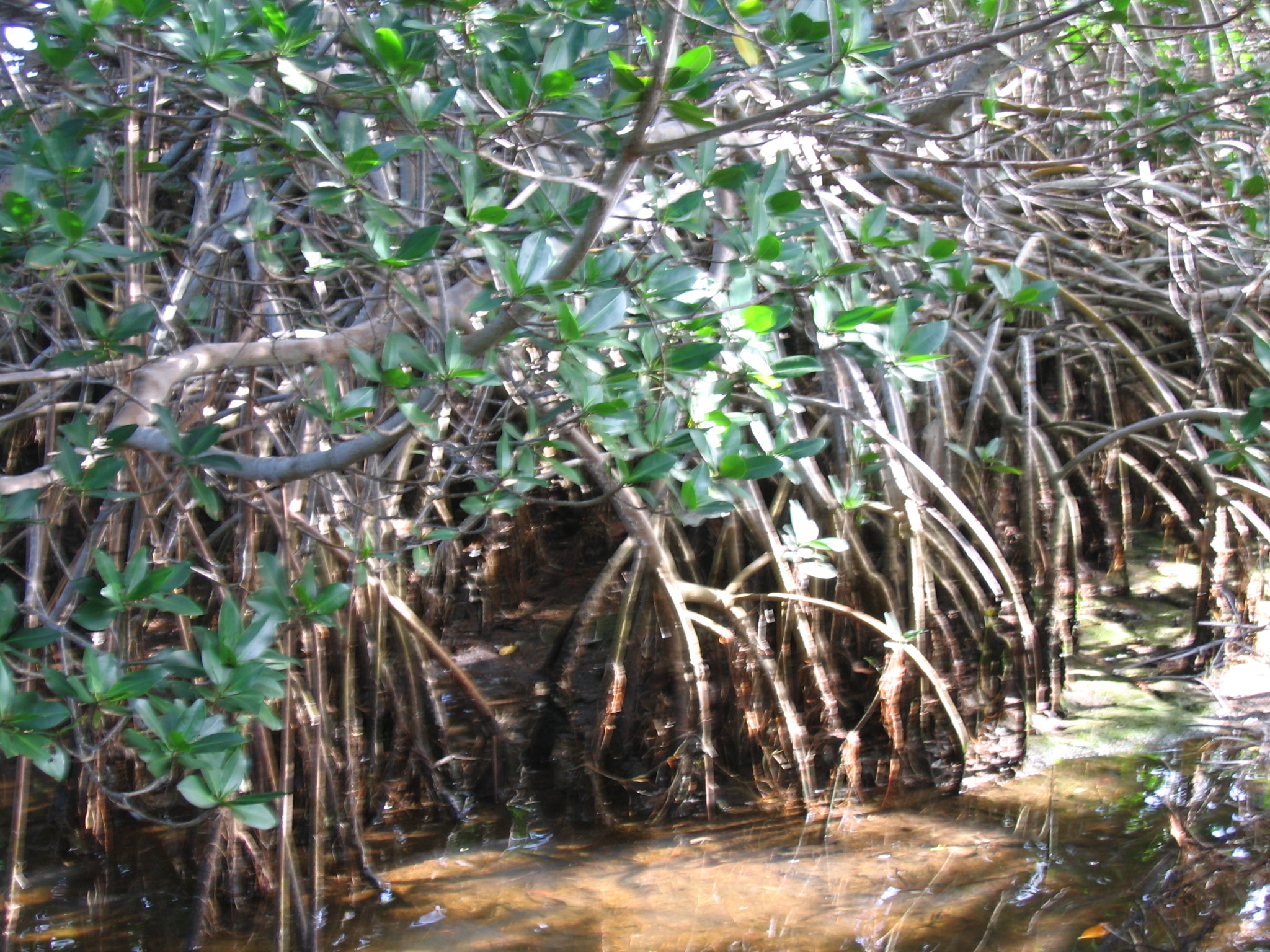
We had a wonderful time biking through the nature reserve. Almost missed the Observation Tower but didn't, thank goodness. Great wildlife.
Effective October 20th, 2006, you must meet the following in order to claim a find, due to new Earthcache rules:
* Post a picture of yourself at the posted coordinates to prove you were here.
* Send an email to me before posting your find with the answers to the following:
1. There are several types of mangroves on the island. What type of mangrove props itself above the water with stilt roots?
2. What type of mangrove lives on higher land?
3. Red mangroves are viviparous - what does this mean?
Wonderful park, our first find in Florida. Here visiting from Virgina with our son and family (MGMBOYD) in NPR. Did not take or leave anything. Wonderful find though.
Hard, solid path all the way to the cache. Container is a Decon container. Bring your own pen. This is part of a series that I'm placing with the help of my wife, Jodster. You will find this cache in J.B. Starkey Park. Special thanks to park administration for allowing us to place these caches! Now, Jodster & myself are usually in the park either Saturday or Sunday. We keep an FRS radio with us & on. We monitor channels 2 & 12. So if you are in the park, have an FRS radio (Motorola Talkabout) & would like help or to meet, just give us a shout!
There is parking near to the cache!
Now the tree cover is very bad in this area. The best reading I could get was an accuracy of 20-40 feet.
HINT: You are going to have to look up for this one. You can reach it but it is about eight feet above the surface you are walking on.
Nice park, but as we are walking towards the cache, a muggle told us there was a snake up the path...TFTC. Didn't take or leave anything. Enjoying caching with our son and family (MGMBOYD). Alexandria VA Couple
Located inside a smaller park with nice hike or bike trail. Bikes can be locked at the park bench on the trail. Cache is a green ammo box 100+ feet off the main trail. May have some light bushwhacking in the sense of having to step over fallen trees and ankle high growth, and ducking under low branches (no machete required). Are


What a great find. Our first Travel Bug hotel, it's a high rise. Took the Webby Duck TB and USA Sarah Mae GeoCoin and will take them to Virginia with us. Left the Furby TB and Minnie Mouse (for our daughter) We are here visiting our son and family (MGMBOYD) for a few days. Alexandria VA couple
Hard packed dirt path all the way to the cache. Cache is a 81mm Ammo can. Yes, an 81mm Ammo can! This cache was placed as a sort of time capsule by myself & the attendees of the 1st Annual Starkey Park Geo Event of 2006(GCXGWK). You will find this cache in J.B. Starkey Park.
Now, Jodster & myself are usually in the park either Saturday or Sunday. We keep an FRS radio with us & on. We monitor channels 2 & 12. So if you are in the park, have an FRS radio (Motorola Talkabout) & would like help or to meet, just give us a shout!
Parking is at the corral at N 28° 15.175 W 082° 38.427
Very educational. Took the walk around with my granddaughter (MGMBOYD) and read all the signs. Took pictures of them all to for reference. Great vitual. Alexandria VA Couple
VIRTUAL CACHE:
Verification Question:
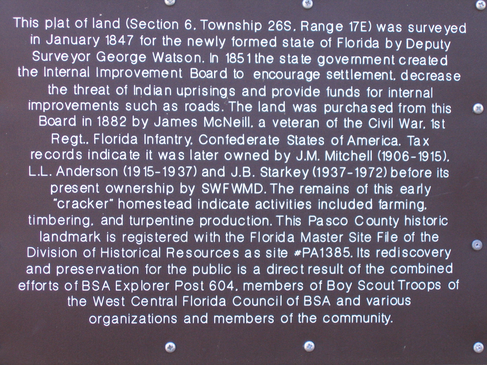
1 – Name the landowners who came after McNeil, including the current landowner.
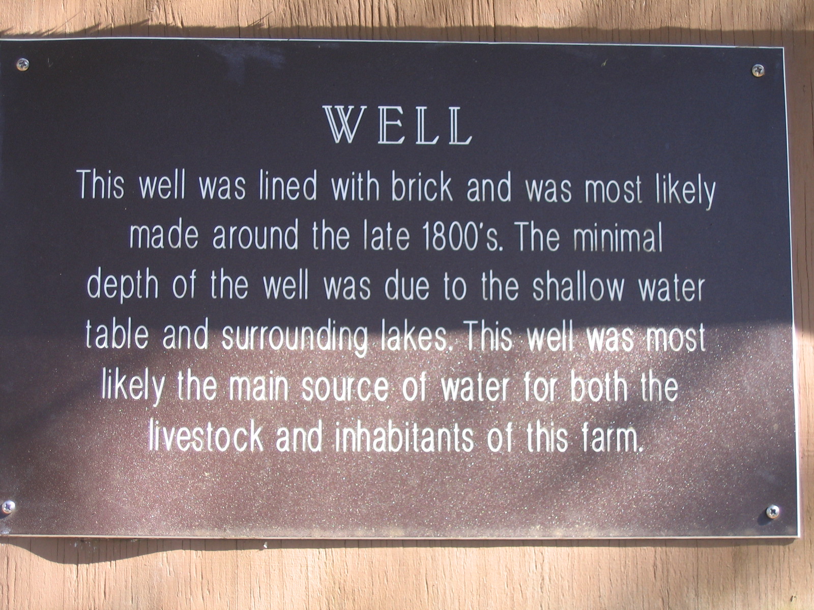
2 – When was the well made?
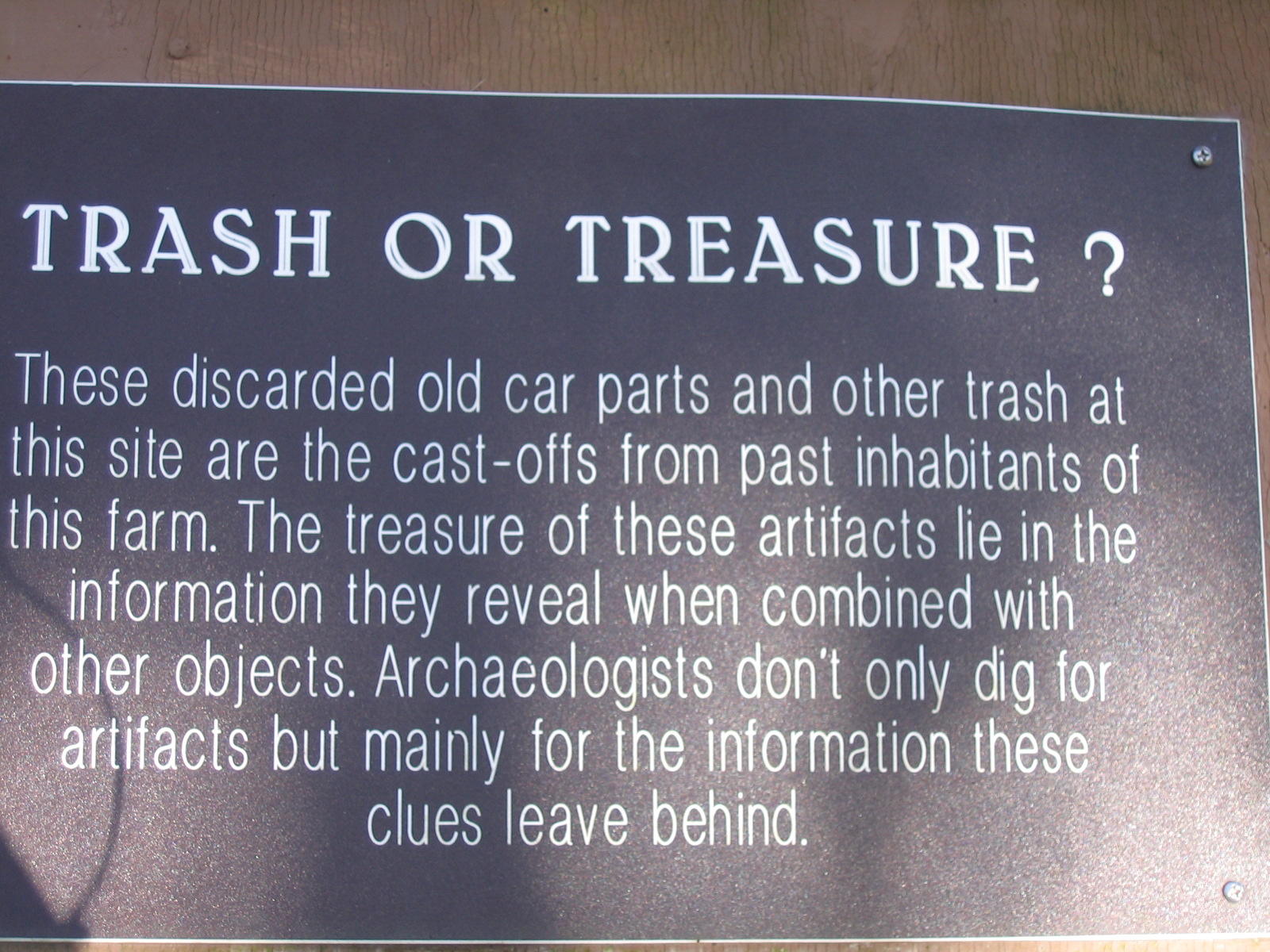
3 – What is found at the "Trash or Treasure" site?
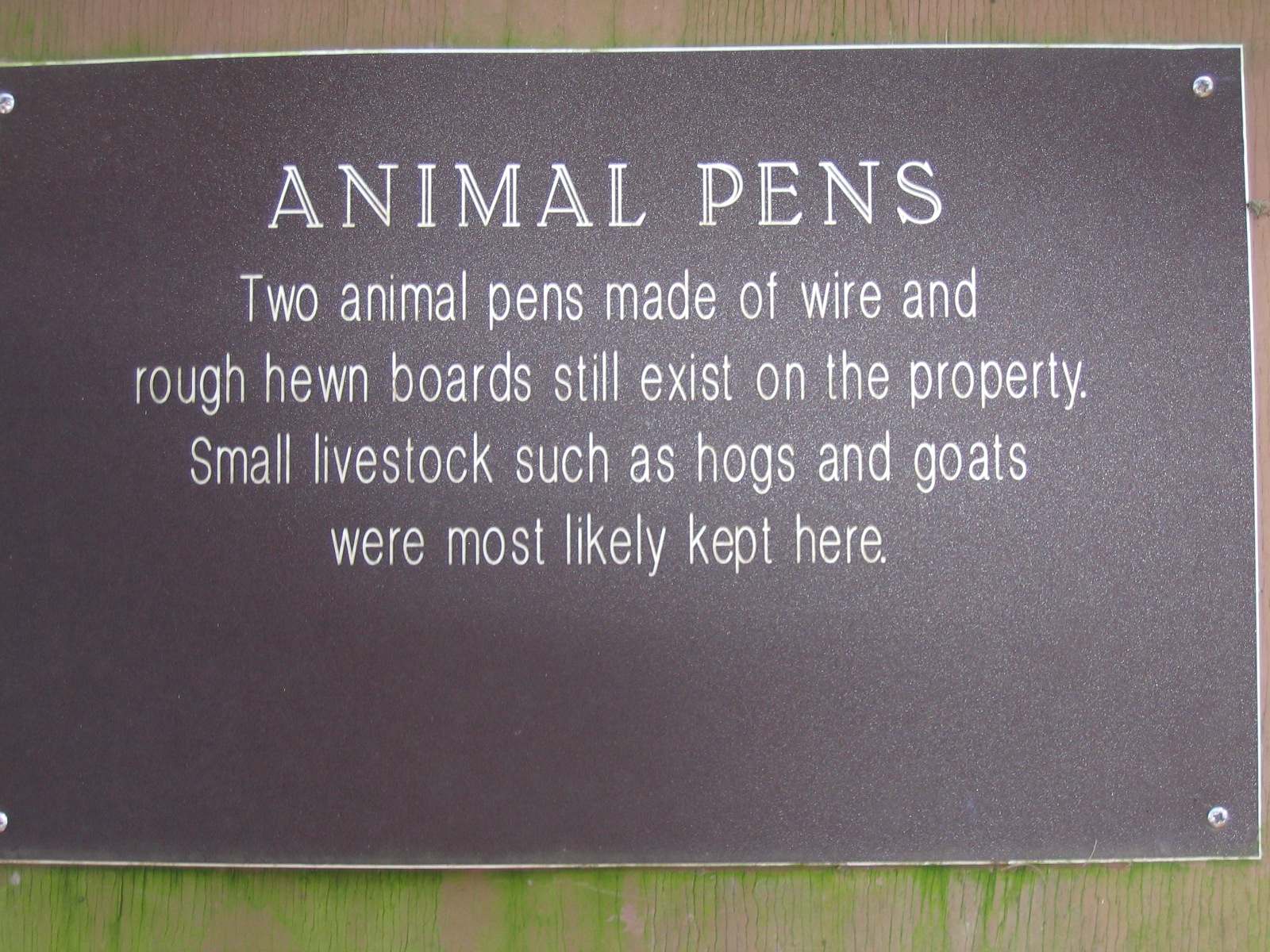
4 – What is the 5th and 7th word on the second to the last line of the plaque titled “Animal Pens”?
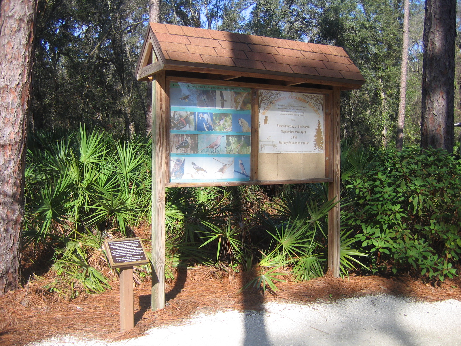
While hiking around one of my favorite parks the other day, I came across a new archeological dig of the old McNeil Homestead on the same land that is present day Starkey Wilderness Park in Pasco County. This site has been unearthed and preserved with the help of Boy Scout Explorer Post 604, members of Boy Scout Troops of the West Central Florida Council of BSA, and is a great example of what the layout of an early settlement in Florida was like. Included at this location are the remnants of a well, house, pasture, animal pens and gravesite. There is a very informative kiosk at the location with old maps of the location, a history of McNeil (a Civil War veteran), and interesting facts about the area.
There is a walking trail that goes around the homestead, please stay on it as the areas outside of the trail are undergoing further archeological restoration. Around the trail are various plaques providing details about what different sections of the homestead. To claim credit for this virtual, you must email me answers to the following quest
Carrie had her Nextel Phone with the GPS so decided to take a side trip from the broadwalk and casinos.
Wonderful, very meaningful park.
In a Park in the center of Town.
For Those who were Awarded...
And for Those who should've been.
Even the(drunkard)American Indian Ira Hayes.
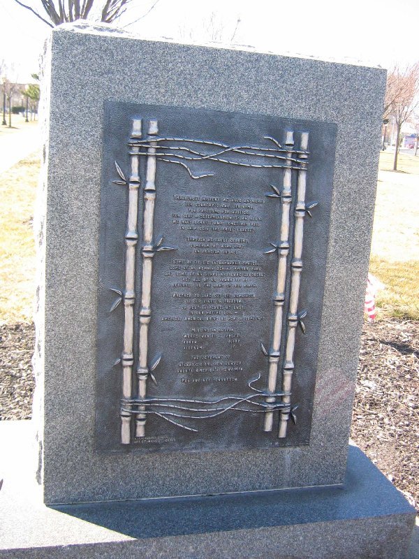
The posted numbers are for The Purple Heart Memorial.
This is now an offset cache.So,
.12 mile Due West(That´s Point .12 West)
That's where you'll find me.
**The clues are a dead give-a-way,use them, if you need them.**
* Enjoy...
and you know what else.
Peace.
HINT: The Monument,Big Concrete Thingy. Hiding below a beach facing wreath.

Nice walk but lots of mosquitoes! Saw some geese and ducks on the way. Definitely a place we would not have found without geocaching. Got out to the other island though and my husband took me to the Elizabethan gardens which are close. He even liked them I think. Took nothing, left a Mickey Mouse backpack clamp.
There is a general path to the cache and it is easy to get to. Just a great walk while watching the wildlife! You are looking for your basic everyday ammo can. Please be sure to return it to its hiding spot after the find. It is hidden well but the normal cacher will recognize the spot. Have fun!
This is a basic Ammo Can Cache and the location is worth the easy find. The cache was hidden by several family members while visiting this beautiful area.
At this time of the year the deer flies are very bad...BEWARE OF THE FLIES, they may carry sma
We are lucky to have OBXed as our local maintainer of this cache and for giving the cache a major facelift :) after the storm - thank you!
Please remember to place the cache back exactly where you found it - safe for the next geocacher to find!
HINT: On the way 'up' to the beach.......
Never did find Spot but we did find the cache after really looking at the coords! Easy once we did change to the other side of the road. The only thing I had in the X motif was a Skull (pirates) so left that and took geocaching key chain.
An ammo can in the wilds of Spot, North Carolina
According to the old maps, "X" often does mark the Spot, as this cache is placed in the community of Spot, NC Near the Outer Banks, we have filled it with all things "X" -an X-Men comic book, Some eXtra-terrestrials, X-Files rejects and things that look like they may need an eXorcist. A pair of homemade X-ray specs and cheap eXercise equipment round out the ten items in the cache. Ten items - what's that in Roman Numerals? Bring something "X" to the Spot to trade. (Nothing X-Rated,though, this is a family cache, not for eXhibitionists, no eXcuses)
HINT: Off a gravel road, not far into the bushes.
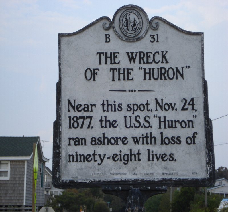
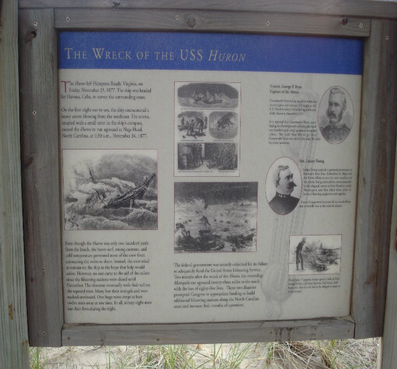
We had to call home for a clue for this one but finally found it. Loved the area and thank goodness there were not any muggles around. Took TB going to Maryland, since we were heading back to Virginia soon. The history lesson was extra nice.
The USS Huron ran aground November 24,1877 200 yards from shore. The Lifesaving Stations did not open until December. 98 men lost their lives as a result.
This ammo can is hidden in a well travelled area. Please be discreet as we rate the muggle factor as high. Enjoy the site.
|
|
|
|
|
|
|
|
![[view map]](conway.png)